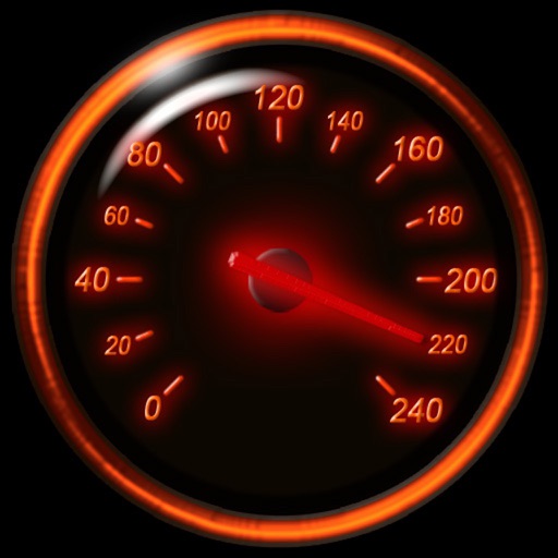
Track speed using iPhone's GPS. Display speed in mph or km/h based on region settings. Show max and average speed. Choose between digital and analog display styles. Monitor speed during car, bike, running, or riding activities.
GPS tracks current speed, distance, and altitude. Displays average and maximum speed. Shows speed limits in real time. Supports mph, km/h, and knots. Measures travel time and battery level. Works offline.
Track speed using GPS with options for mph, km/h, and knots. Display city name and compass if enabled. Show traveled distance and optional average and maximum speed. Choose from multiple interface colors. Record speed during trips.
Display current speed using GPS and show speed limits via online checks. Alert when exceeding speed limits. Track weather, temperature, odometer, altitude, and average/max speed.
Track speed and distance in miles and kilometers. Monitor real-time speed and display maximum and average speeds. Check speed limits and receive warnings for speed and red light cameras. Access offline maps and view weather conditions.
Track speed using GPS with real-time updates. Display current speed, distance traveled, and time elapsed. Save trip data and view historical speed logs. Share speed records via social media or email.
GPS UTM displays precise UTM grid references with 1 metre, 10 metre, and 100 metre formats. Locate position on topographic maps using global datums like ED50. Share coordinates with other apps or users.
Monitor with real-time updates. Set configurable limits with four presets. Alert with color change and sound when exceeding limits. Emit loud sound for speeding alerts. Track during driving. S.O.S. mode for flat tyre emergencies.
Track with real-time GPS data and accuracy. View trip distance using a digital odometer. Access HUD mode for display on the windshield. Set customizable alerts. Function without an internet connection.
The app displays device orientation to magnetic fields. It provides location coordinates, course, speed, altitude, weather information, date, time, and map views.
Track cycling performance with real-time speed, distance, and route data. Choose from digital, analog, or map displays. View ride history and manage past rides. Automatically pause timing when stationary. Swipe to switch between displays.
Displays current speed in mph, km/h, or knots. Features a large, clear indicator with adjustable transparency for better accuracy. Uses device hardware to estimate speed. No additional features or connectivity options.
Track speed, distance, altitude, and heading with real-time GPS data. Record trips with route tracking and save journeys for later. View live maps with position updates. Export trip data for analysis.
Navigate using offline 3D stored on your device. Access real-time traffic updates and speed camera alerts. View monthly-updated without an internet connection. Receive free map updates multiple times per year.
Track speed in using units like meters per second, miles per hour, and kilometers per hour. Display speed in English or Spanish. Allow users to request additional language support.
Displays real-time , time, distance, and trip statistics. Track average and maximum , moving and stopped time. Save aggregated trip data for future reference.
GOLDLAB APPLICATIONS YAZILIM VE BILISIM ANONIM SIRKETI
With real-time maps and GPS
With real-time traffic updates, turn-by-turn directions, and GPS tracking. View maps with zoom and rotate features. Receive alerts for speed cameras and road closures. Save favorite locations and share trip details.
Track location, speed, and altitude with real-time GPS data. Use a digital compass for direction. Access weather information and tag locations. Share coordinates and view maps.
Track altitude, elevation, and GPS coordinates. Monitor speed in km/h or mph. View compass direction. Check GPS signal quality. Log location for outdoor activities like running, mountaineering, or traveling.