Measure physical objects and distances using augmented reality. Tap to capture point-to-point measurements. Choose metric or imperial units. Save and store measurements for future reference.
Measure real-world objects using AR technology and a phone's camera. Calculate length, height, area, volume, and angles. Estimate distances and track measurements with a digital . Share results and save measurements for future reference.
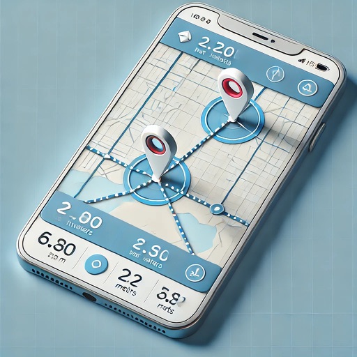
Area, lengths, and angles on maps using an interactive crosshair. Trace outlines to create connected points, updating area and perimeter in real time. Adjust radius for scaling features. View dynamic length and angle as you move the crosshair.
Land using GPS technology. Define boundaries on maps to calculate plot sizes. Calculate distances and areas for properties or regions. Save and share measurement data. Sync with mapping services for accurate results.
Sound levels with SPL metrics including current average, peak, average maximum, and absolute maximum. Display graph histograms for adjustable settings. Save measurements and reset max values by tapping. Support upside down orientation for easy use.
Calculate using coordinates with options for square meters, feet, acres, hectares, kilometers, and miles. Measure distance between points. Premium users can save areas, add notes, attach images, and calculate prices based on values.
View and convert geographic across multiple formats and datums. Manage locations with an intuitive interface. Display current location at the intersection of two grey lines. Export in various global systems.
Track and save locations with map marking and note-taking. Record trails and tracks. Set land boundaries and access points. Share coordinates and view area details. Sync with trail camera zones and tree stand spots.
Track routes, find waypoints, and navigate offline
Navigate outdoors with offline GPS maps and real-time augmented reality. Track waypoints and custom locations. Use a gyrocompass, speedometer, altimeter, and inclinometer. Find celestial bodies and measure angles.
Access details including lot lines, APN, address, owner, acreage, sale price, mailing address, value, land use, zoning, and vacancy status. View standardized data and public records. Search and retrieve information for properties nationwide.
Distances with millimeter precision using or TrueDepth camera. Tap to place markers and view real-time measurements. Save and share measurement data. Export as PDF or image.
Rooms using augmented reality with a virtual ruler for precise distance and area calculations. Create 3D floor plans from scans. Save and share measurements. Sync with other devices for collaborative planning.
Create 3D layouts with precise measurements. Measure distances and surface areas using augmented reality. Export scans as PDF or other file formats for easy sharing and reference.
Calculate measurements with addition, subtraction, multiplication, and division. Convert between decimals and fractions. Display results directly on a visual interface. Mark precise positions without manual calculations.