– uses AR to display a digital protractor and on the device screen. Users can precisely, calibrate the , and save measurements. The supports both indoor and outdoor use for accurate readings.
Distances using Augmented Reality. Tap to place markers and calculate lengths. Undo measurements. Choose different colors for markers. Take screenshots. Switch between metric and imperial units.
Measure inter pupillary using iPhone or iPad. Take measurements in seconds with high precision to 0.1mm. Support near and far measurements. Remove glasses for better accuracy. Display large text for readability. Include dark mode option.
Measure objects or distances using AR technology. Switch between units for accuracy. Create sketches with text editing options including size, color, and positioning. Share measurements and sketches directly from the .
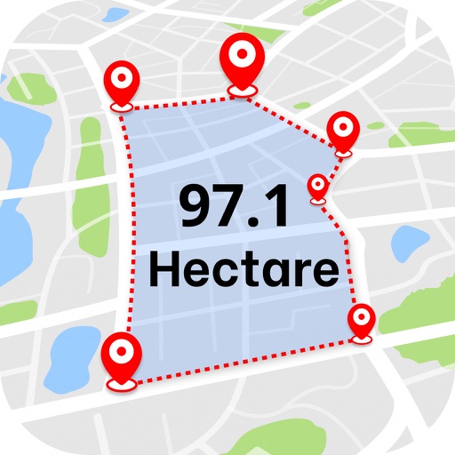
Calculate land using GPS coordinates. Draw shapes on maps to fields or plots. Add GPS stamps to photos with location, time, weather, and compass data. View live maps and magnetic information.
Use to measure objects in real time with accurate centimeters, inches, and meters. Tap to measure distances, take unlimited readings, and view real-time AR visuals for precise results.
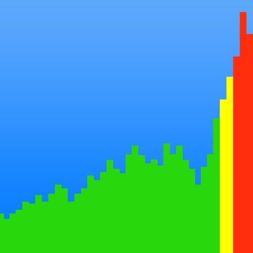
Sound levels with SPL metrics including current average, peak, average maximum, and absolute maximum. Display graph histograms for level changes. Save measurements and reset maximum values by tapping. Support upside down orientation for easy use.
Measure areas using map, GPS tracking, or AR. Draw shapes on the map for rough estimates. Track GPS routes for precise measurements. Use AR to measure rooms or objects by placing virtual markers. Export results and share data.
Objects using an augmented reality camera interface. Select units like inches, feet, centimeters, or meters. Capture and save measurements. Share results via email or messaging. Sync measurements across devices.
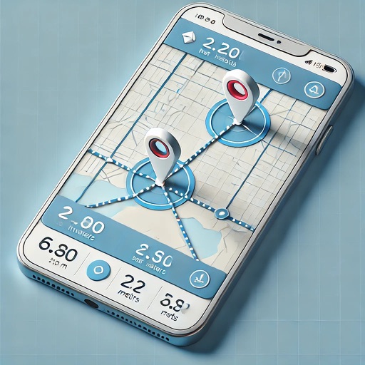
Distances and areas using a map interface. Start recording by pressing the record button and stop with the stop button. Pause to add new sections. Tap labels to remove sections or the start point. Manage measurements by connecting points.
Calculate areas, plots, and distances using GPS technology. Draw and map regions on a map. Measure perimeter and of custom shapes. Save and share measurement data. Export maps in various formats.
Measure real-world objects using AR technology and a phone's camera. Calculate length, height, area, volume, and angles. Estimate distances and track measurements with a digital . Share results and save measurements for future reference.
Distances, perimeters, and areas with high precision. Account for Earth's curvature. Share results via any sharing . Save and view measurements. Export data in various formats.
Scan surroundings using the device camera to create real-time 3D floorplans. Add measuring points to calculate distances, lengths, surfaces, and areas. Export plans with measurements in PDF format.