

Apps Like Ascend Maps for iPhone and iPad
Ascend Maps screenshots
Ranked alternatives
Showing 801–820 of 1,000 ranked alternatives.




Austrian Map Mobile
Garzotto GmbH
Digital maps of Austria with features.
The app provides digital maps of Austria with hill shading and object names. It includes topographic maps and offers functions like searching by name or coordinates, GPS features, and measuring distances.
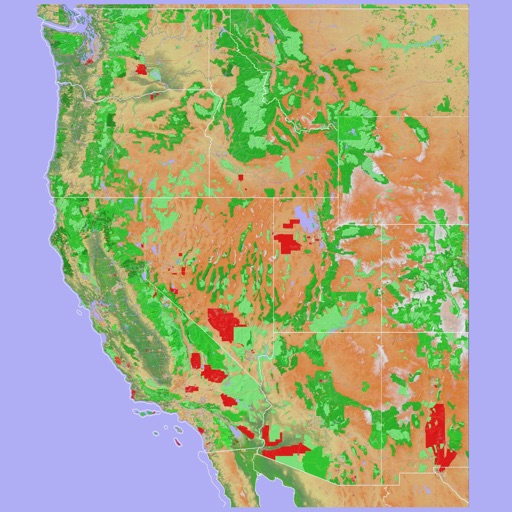
Scenic Map Western USA
Mark Granger
Explore 3D maps offline worldwide
Navigate using a 3D topographic map of the USA and Hawaii. Access offline vector maps for navigation in vehicles or outdoors. Switch to online maps for global coverage with automatic caching. Explore locations with zoom and scroll features.





Sentres
Outdooractive AG
Plan, record, and share outdoor routes.
The app offers a global trail database with route suggestions for various outdoor activities. Users can plan, record, and share routes, with features like navigation and real-time location sharing for safety.

Charts & Tides
Navimatics Corporation
Charts Tides ActiveCaptain GPS Navigation
The app provides access to charts, tides, and ActiveCaptain information for trip planning and navigation. It integrates NOAA and CHS vector cartography, displays tide levels and current speeds, and stores the ActiveCaptain database offline.

Handy GPS
Anthony Dunk
Seek, find, record, and return.
The app provides navigation for outdoor activities, allowing users to view their location in UTM or Lat/Lon. It supports recording and returning to waypoints, track logs, and exporting data to KML, GPX, or CSV files.


Südliche Weinstraße, Pfalz
Outdooractive AG
Explore the Southern Wine Route region.
The app provides interactive guidance for exploring the Southern Wine Route region. It features state-of-the-art vector maps detailing trails, sights, accommodations, and events, with offline route saving available.


Hawaii Pocket Maps
Alex Gugel
Download and guides for parks
Plan trips by downloading , park brochures, and newspapers. Explore 50+ national parks, 300+ trails, and 12,000+ points of interest. Access 20+ folded from various agencies. Find 20+ campgrounds and campsites.

Trail X Trail
Trail X Trail LLC
Map, record, and track trails
Create and navigate custom routes with multi-stop routing. Manage waypoints and record tracks from rides. Save and review recorded routes for future reference.


Paper Maps
Abbro Inc
View , edit layers, share annotations
View PDF, TIFF, KAP, and KML files. Sync with iCloud, Google Drive, OneDrive, and Dropbox. Add placemarks, record tracks, and draw shapes. Share annotations in real time. Use tools like theodolite and georeferencer for map editing.
How we rank alternatives
Apps are ranked by functional similarity, category fit, rating confidence, and popularity.