

Apps Like Ascend Maps for iPhone and iPad
Ascend Maps screenshots
Ranked alternatives
Showing 821–840 of 1,000 ranked alternatives.

SwitzerlandMobility
Stiftung SchweizMobil
Plan trips, navigate, and explore routes
Explore hiking, cycling, mountain biking, skating, and canoeing routes in Switzerland and Liechtenstein. Plan trips with route details, maps, and navigation. View seasonal activities and access route descriptions for each trail.

UK Parks & Forests GPS OS Maps
Flytomap
UK National Parks GPS Map Navigator
The app provides GPS map navigation for outdoor adventures in UK National Parks. It offers online and offline modes with detailed charts, GPS tracking, and name searching.

Coastal Explorer
Rose Point Navigation Systems, Inc
Plan and log cruises
View NOAA and USACE nautical charts for U.S. waters in vector format. Create routes, waypoints, and boundaries. Sync navigation objects across devices. Track boat position and speed. Set and monitor alarms for depth, speed, and proximity.




iHikeGPS NZ : LINZ Topo Maps
James Associates Inc.
Track routes, view , navigate outdoors
Record and view hiking tracks with detailed topographic . Navigate routes using GPS coordinates. Mark waypoints and save locations. Display elevation changes and compass direction. Sync with Apple Health for activity tracking.


Scenic Map Eastern USA
Mark Granger
Explore 3D maps offline worldwide
Navigate using a 3D topographic map of the USA with offline access. View vector map data without internet. Use in vehicles or during hikes. Switch to global online maps with automatic caching for areas without coverage.
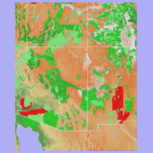
Scenic Map Grand Canyon
Mark Granger
Explore landscapes in three dimensions.
The app provides 3D topographic maps for iPad and iPhone. Vector map data is contained within the app for offline use, supporting navigation in various environments.


Mediterranean Sea HD GPS Chart
Flytomap
Worldwide marine and outdoor maps.
The app provides worldwide marine and outdoor maps, satellite imagery, and terrain overlays. It offers local marine weather forecasts, tide data, and wind information, functioning without mobile coverage.

Mediterranean Sea GPS Charts
Flytomap
Navigate with satellite maps and offline coverage
View marine with satellite and terrain overlays. Access local weather forecasts. Use NOAA raster for navigation. Track position and route. Share maps and waypoints. Work offline without mobile coverage.

NaVida
Electronic Chart Centre AS
Maps and charts for land and sea.
The app provides map display for land and sea with multiple map layers including OpenStreetMap and Apple Maps imagery. It offers features like offline map data, places of interest search, and waypoint management with GPX file support.


How we rank alternatives
Apps are ranked by functional similarity, category fit, rating confidence, and popularity.