
Apps Like MapScale for iPhone and iPad
Ranked alternatives
Showing 261–280 of 1,000 ranked alternatives.
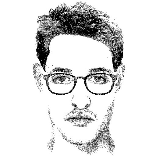
FlashFace Full
Artem Brigert
Create facial sketches with detailed components
Create detailed facial sketches by customizing elements like eyes, nose, mouth, hair, and glasses. Move and resize features freely. Save, load, and export sketches as JPEG images.


Traction Field
Traction Ag, Inc.
Sample and map targets offline
Sample locations offline without cellular data. Define boundaries and set target grids. Navigate to sample points and record actual locations. Export data and email to external apps.

FieldMap Pro
Maptext, Inc.
Map offline or online with GIS data
Allows field tech workers to view and interact with GIS maps offline or online. Users can access custom forms for data collection, view dynamic labels and layers, and navigate maps with touch controls.

Address Finder - My Location
Mobile Card Games & Travel Apps LLC
Tap to locate, save, and share addresses
Instantly retrieve your current with GPS. Save favorite locations and view interactive maps with 3D terrain. Track real-time speed and share locations directly. Get directions to saved or entered destinations.

FRR
County of Palm Beach
Communicate during large-scale emergencies
Facilitates communication between first responders and their families during large-scale incidents. Sends real-time updates, alerts, and safety information. Allows family members to access emergency contact details and incident status.

Butterflies of Singapore (NSS)
Nature Society (Singapore)
Butterflies of Singapore mobile field guide.
The app presents 440 butterfly photographs from Singapore's six families. It includes features for identification, comparison, and surveying, with or without an internet signal.


Hyperlay
Drop APS
Calculate rigging loads and automate pre-production tasks
Creates a sorted markout list with X- and Y-coordinates converted to US/DS and SL/SR. Calculates load weights and center of gravity. Automates rigging calculations for pre-production and load-in phases. Tracks equipment and setup details.




RTAB-Map - 3D LiDAR Scanner
Mathieu Labbe
Map environments in real time with SLAM
-Map enables real-time mapping using , RGB-D, or stereo cameras. It performs simultaneous localization and mapping with graph-based SLAM. The loop closure detector identifies previously visited locations using a bag-of-words method.


MapGenie: FC5 Map
Magic Lamp Technologies Limited
Find collectibles and track missions
Find collectibles, stunt jumps, side missions, prepper stashes, and perk magazines across over 1000 locations. Search by name for quick access. Sync progress with a website. Track progress and view detailed maps.

How we rank alternatives
Apps are ranked by functional similarity, category fit, rating confidence, and popularity.