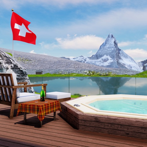
Find and identify objects in various winter-themed levels. Explore 10 different holiday worlds with real photos of festive scenes. Complete 80+ levels across themed areas like the North Pole and Snowman Mountain.
Plan trips to parks with downloadable , guides, and park brochures. Access 75+ national and state parks, 150+ from various agencies, 100+ campgrounds, 1,600+ trails, and 72,000+ points of interest.
Find hiking trails without an internet connection. Filter by difficulty, distance, and location. View detailed trail profiles created by local authors. Save favorite routes and access information about nearby waterfalls, lakes, and mountains.
Plan trips to parks by downloading , brochures, and newspapers. Access 100+ parks, 25+ folded from various agencies, 300+ campsites, 2,000+ trails, and 75,000+ points of interest. Save data for offline use in areas without Wi-Fi.
Plan trips to parks with downloadable , guides, and park brochures. Access 50+ parks, 80+ , 130+ campgrounds, 400+ trails, and 63,000+ points of interest. Download newspapers and park information for offline use in areas without Wi-Fi.
Search for verified holiday homes across Europe. Filter by location, amenities, and price. Book directly with secure payment options. Access 24/7 customer support for assistance during your stay.
View forecasts with a timeline showing clouds, rain, snow, wind, auroras, and rainbows. Check extreme warnings for thunderstorms, fires, hurricanes, flooding, and landslides. Track minute-by-minute precipitation and wind details.
View real-time piste and lift status. Top up ski passes securely. Check weather, snow levels, and live webcams. Use AR for mountain positioning. Explore an interactive town map with services and transport info. Discover events and activities.
Navigation allows users to view direction aligned with satellite imagery or maps. Displays street address, GPS coordinates, elevation, and What3Words codes. Taps switch between satellite and map views. Pinch or spread to zoom.