Allows users to browse , search locations, save favorites, and use turn-by-turn . Premium subscription enables traffic-aware routing, activity recording, offline , and elevation map views for terrain clarity.
Real-time 3D maps with GPS navigation. Access HD views for current locations and addresses. Get driving directions and traffic updates. Receive voice-guided routes for navigation. Sync with global earth map for location-based insights.
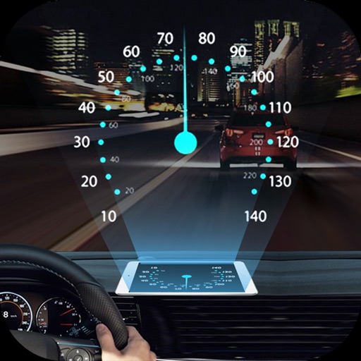
Projects speed, clock, weather temperature, cruise control, and now playing song information onto the windshield when iPhone is rotated and placed near the windshield. Displays data in landscape mode for easier visibility while driving.
Provide turn-by-turn GPS navigation with lane guidance and spoken instructions. Display limits and integrated detection. Automatically record routes, showing distance, time, , and cameras encountered.
Share real-time locations and travel history of contacts. Set custom sharing periods and permissions. Receive alerts for location changes and emergencies. View detailed maps and movement history. Invite contacts to share locations securely.
Uffizio India Software Consultants Private Limited
Track vehicles and monitor routes
Track vehicle movement in real time with GPS. View current location, speed, and route history. Set geofences and receive alerts. Access maps and navigation features. Share location with others. Control device remotely.
Provide real-time turn-by-turn with updates. Plan routes and view alternative options. Adjust settings for preferred roads or avoid tolls. Share locations and receive directions via voice or map. Sync with devices for offline use.
The app offers turn-by-turn navigation with worldwide map coverage from eight different providers. It features fast map rendering, offline map mode with unlimited tile storage, and real-time traffic information.
Plan and host driving events with route customization and scheduling. Explore curated global routes and points of interest. Connect with drivers via private groups and live tracking. Buy, sell, and build a garage through an in- marketplace.
The app provides real-time road and traffic information for Georgia drivers. It displays traffic events, cameras, message signs, rest areas, and express lanes on a zoomable map, helping users plan routes and anticipate delays.
View real-time conditions on metro area freeways and streets. Access a zoomable map with scrollable navigation. Check lists of accidents, construction, and hazards. Get updates on special events impacting .
Record driving footage with motion detection and continuous recording. Track location and speed using GPS. Save and share videos directly. View playback and manage stored files. Receive alerts for impact detection and low storage.
The app provides clear information about major roads in England managed by the Highways Agency. Users can view color-coded tiles with key details and have incident descriptions read aloud.
Provide turn-by-turn voice with real-time traffic updates. Display maps and satellite views. Access offline maps and GPS directions without internet. Find nearby food, events, and activities. Include Google Street View for location details.
Navigate cities with real-time GPS directions for driving, walking, or public transport. View traffic-aware routes, track bus schedules, and find obstacle-avoiding walking paths. Get precise location data and update routes as needed.
View , speedometer, and in one screen. Access big icons for easy navigation. Control playback and adjust volume. Display real-time speed and trip information. Sync with Bluetooth devices for hands-free calling.