Control drones via a remote connection. View live video streams and share them with incident commanders. Log flight data automatically. Adjust drone settings and monitor battery life in real time.
Access real-time METAR, TAF, and NOTAM data for global airports. Plan and save flight routes with offline storage. Sync data via iCloud. View briefings and pilot reports. Track conditions and flight-related alerts.
Displays current wind direction and speed, runway course, and cross, head, or tailwind components. It shows applied wind limits, forbidden wind angles, and a maximum wind speed table. Users can set up wind parameters for accurate flight evaluations.
Drivers can view and accept trip assignments, update trip status, and share payment details. Dispatchers track trips in real time via GPS. Customers receive tracking links to monitor shipments.
Track flights in real time with live air traffic data. View aircraft positions on global maps. Identify planes by pointing device at them. Monitor flights of contacts or follow global aircraft movements. Set alerts for specific flights or locations.
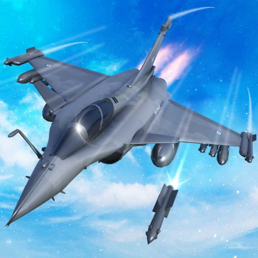
Train pilots for air combat missions. Customize jets with upgrades. Manage squad formations and tactics. Execute airstrikes on enemy positions. Track progress through mission-based challenges. Unlock new aircraft and weapons.
Access FAA regulations and aeronautical information. Bookmark and highlight content. Sync bookmarks across devices. Receive alerts for regulatory changes. View CFR Title 14 and Title 49 Subtitle B. Includes updated Federal Register amendments.
Track location, speed, altitude, and heading using built-in GPS. Customize with widgets for quick access. View real-time movement data and adjust settings for navigation.
Track tides and currents for over 12,500 global locations without an internet connection. View tidal data and current details. Save and access information offline. No ads or in- purchases required.
Plan flights with detailed weather data, airport information, and NOTAMs. Overlay georeferenced charts on aviation maps. Access IFR and VFR plates for over 200 countries. Manage and download airport plates in advance.
Track aircraft positions in real-time using ADS-B data. View live paths, altitudes, and speeds. Search for specific planes by identifier. Receive alerts for nearby flights and airspace changes.
Search for diesel prices at truck stops across the country. View current rates and compare prices. Save money on fuel purchases. Track price trends and receive updates. Share price data with other drivers.