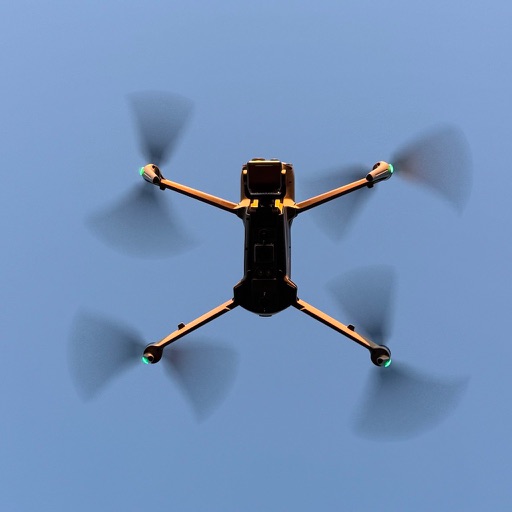
Control drones via a remote connection. View live video streams and share them with incident commanders. Log flight data automatically. Adjust drone settings and monitor battery life in real time.
by DroneSense INC★ 4.632 ratingsNavigationFreeData updated 2026-09-06
Plan and schedule flights with airspace information on classification, restrictions, and NOTAMs. Review flight guidelines, request authorization, and receive automatic approval responses. Track flight status and access real-time airspace data.
Access real-time weather radar and wind maps to plan flights . View rain radar and no-fly zone data. Check wind patterns and atmospheric conditions. Navigate flight areas with accurate geographic insights.
Control drone flights with automated missions, semi-automated workflows, and manual controls. Set waypoints, orbits, and vertical mapping. Preview missions in 3D. Support for DJI and Autel drones.
Control DJI drone flights with preloaded missions and custom routes. Adjust camera settings, capture photos and videos, and review media directly. Share content via social media or email. Track flight data and manage drone settings remotely.
Manage drone flights with FAA-approved B4UFLY and LAANC services. Request airspace authorizations, check flight permissions, and plan safe operations. View real-time flight data and receive alerts for restricted areas.
Check flight rules and airspace restrictions in the U.S. and Australia. View compliance maps from aviation authorities. Plan flights using Google Maps. Access controlled airspace with LAANC. Set flight locations and receive real-time updates.
Provides real-time weather data and flight forecasts. Displays interactive airspace maps for route planning. Offers smart checklists for pre-flight preparation. Maintains a flight logbook for tracking history.
Simulate FPV drone flights with realistic controls and environments. Practice freestyle tricks and techniques. Adjust camera angles and view live data. Connect to compatible goggles for immersive experience. Share recordings and replay sessions.
Check status for controlled, restricted, or prohibited areas. Request authorization to fly in controlled through . View current weather conditions for flight planning.
Simulate drone with realistic controls and environmental obstacles. Adjust drone settings, view real-time altitude and battery status. Record sessions and replay in first-person view.
Manage drone operations with real-time flight control, camera settings, and mission planning. View aerial data and images for property inspections. Integrate with AI tools for automated analysis and report generation.