The app tracks outdoor activities and travel, showing distance, time, and elevation. It displays courses on a map, allows track import and sharing, and exports tracks for review on other services.
Navigate mountain bike trails with real-time GPS-triggered audio guidance. Listen to trail insights and directions directly through headphones. Receive turn-by-turn navigation without needing to check a map.
Plan trips to parks by downloading , brochures, and newspapers. Explore 80+ parks, 500+ campgrounds, 2,600+ trails, and 73,000+ points of interest. Access 60+ folded from federal and state agencies. Navigate without WiFi in wilderness areas.
Plan trips to parks with downloadable , guides, and park brochures. Access 75+ national and state parks, 150+ from various agencies, 100+ campgrounds, 1,600+ trails, and 72,000+ points of interest.
Plan and navigate U.S. Parks with detailed maps and offline access. Explore trails, campgrounds, and points of interest. View operating hours, fees, and boundaries. Download complete content for use without internet.
Explore with detailed descriptions and trail information. Use GPS to navigate based on skill level and preferences. Download maps for offline access. Track hikes with elevation profiles and route details.
Explore locations with 360° panoramic views. Navigate using photo spheres and photo paths. Access for detailed surroundings. Share and save panoramic images. Sync with maps for real-time navigation.
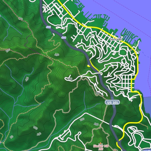
View and download detailed maps with topographical hillshading and contour lines. Store maps for offline use. Navigate using detailed terrain features. Find hiking trails, ski runs, and back streets.
Save places from Instagram reels and convert posts into travel itineraries by extracting mentioned locations. Explore curated official for global destinations. Download for offline access and view saved locations on a map.
Provides offline maps of the entire United States. Displays roads, terrain, streams, lakes, and landmarks. Works without cell signal. Allows zooming and panning. Includes compass and scale. Supports saving and sharing map views.