The app creates a large, detailed map from a selected area in two steps. Users can preview a large and detailed map simultaneously on their device and print posters up to 16 sheets.
by MEDIANAVI,Inc.★ 3.33 ratingsNavigationFreeData updated 2026-10-13
Find runs with GPS routes, elevation profiles, and interactive maps. View photos and expert insights for each . Search for runs by location or area. Plan routes with detailed guidance and highlights. Sync with maps for offline navigation.
The app looks up any latitude/longitude coordinate on the earth's surface and displays it on a satellite image or map. It is useful for finding a location specified only by its coordinates or to map out a SIGWX area.
Distances and areas on satellite maps. Select points to calculate length or size. Save measurements and share results. Compatible with various map views and zoom levels.
The app allows users to watch real-time videos from around the world. Users can browse cameras on the main page or a map, apply filters, and bookmark selected cameras with iCloud sync across devices.
View high-definition 3D globe and latest satellite imagery. Load map tile data for detailed terrain and urban features. Use oriental compass for direction. Access historical street view for past locations. Measure area and distance on .
Track driving costs in real-time by entering fuel price and efficiency. Split trip expenses with passengers. Record trips for review or sharing. Monitor speed with visual and sound alerts when exceeding preset limits.
Explore a 160-acre wildlife park with a detailed map and navigation tools. View exhibit information for activities, create a daily itinerary, and plan your visit in a preferred order.
Navigate public transport with detailed and subway maps. Find routes offline without internet. Plan trips by viewing fastest paths and transfer points. Access station listings for quick navigation.
Distances and areas on satellite maps. Select objects like lawns, roads, and buildings. Save and share measurements. Export data in various formats. Sync with other apps for project planning.
Locations with real-time imagery and GPS tracking. Explore high-resolution of any global area. Zoom in to see detailed terrain and features. Save and share specific views. Navigate using location-based data and overlays.
Plan flights with vector charts, dynamic airspace clipping, and customizable map layers. Create routes by selecting waypoints and adjusting paths. View real-time radar data for situational awareness during flights.
Lets users view global train track networks with three layers: standard, speed, and signals. Users can explore track details, check train speeds, and view signal information. The caches visited locations for faster access.
Create a personalized travel map to mark visited states and counties in the USA. Categorize locations as visited, wish to visit, or world heritage sites. Track travel stats, add notes and photos, and sync data across devices using iCloud and Dropbox.
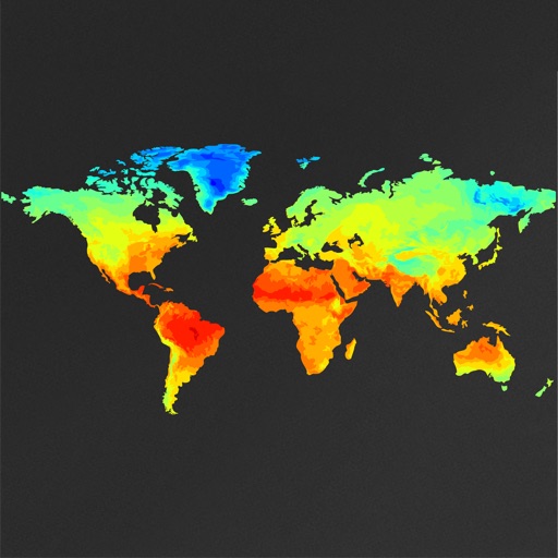
View global weather data with interactive map panning and zooming. Switch between weather layers for current and forecasted conditions. Track detailed weather changes up to 0.25 degrees on land or sea.