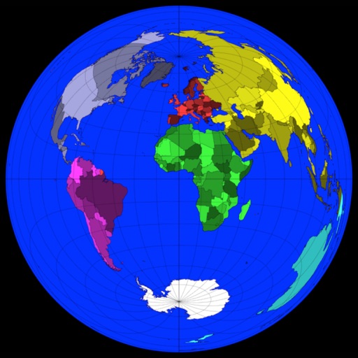
The app computes satellite ground tracks and visibility for multiple ground stations. It plots satellite positions, ground tracks, Sun and Moon positions, and day/night regions on Earth.
by GerSpatial★ 0.00 ratingsEducation$49.99Data updated 2026-10-11
Learn aviation fundamentals through structured lectures and study guides. Complete practice exercises and download printable handouts. Track progress with quizzes and review materials for exams.
Tool provides communication frequencies and runway details for major U.S., Hawaii, and Alaska airports. Filter by state or type. Search by name or IDENT code. View runway configurations and approach information.
The app involves pulling moles from the ground to save them from enemies. Players can shake their device to make moles appear and use Mole Coins to purchase upgrades like sunglasses and potatoes.
View celestial objects like planets, galaxies, and stars visible from your location. Filter viewing lists by observation time and object type. Generate lists for specific locations. Identify objects in the night sky using geographic data.
Design rockets with customizable components like shape, propellant, and staging. Simulate suborbital, orbital, and escape velocity missions. Track performance metrics and adjust designs based on flight data.
Identify risk levels in County using an interactive map. Zoom, scroll, or use GPS for location. View risk levels from the California Geological Survey. Test your home for .
Calculate oxygen demand per patient with altitude adjustment, FiO₂, tidal volume, and respiratory rate inputs. Track oxygen needs over transport time. Plan and estimate oxygen supply based on equipment type and transport conditions.