
iPhone Screenshots
Description
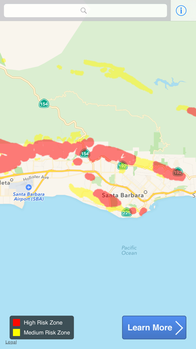
Identify risk levels in County using an interactive map. Zoom, scroll, or use GPS for location. View risk levels from the California Geological Survey. Test your home for .
If you live in Santa Barbara County your house could have radon and you could be at risk for lung cancer! Radon is a colorless and odorless gas that occurs naturally in the ground.
Use this interactive map to determine your risk level. Zoom and scroll to check locations or use your current location as determined by GPS.
Risk levels are provided by the California Geological Survey.
Test your home today!