

Apps Like SatTracker for iPhone and iPad
Predict satellite ground tracks and visibility.
The app computes satellite ground tracks and visibility for multiple ground stations. It plots satellite positions, ground tracks, Sun and Moon positions, and day/night regions on Earth.
SatTracker screenshots
Ranked alternatives
Showing 201–220 of 1,000 ranked alternatives.


PilotTraining.ca Media Reader
Adam Penner
Study aviation exams and track progress
Study aviation theory with structured courses and exam preparation materials. Complete practice questions and quizzes. Track progress and receive feedback. Earn credit toward Transport Canada ground school requirements.

Geo Mania: Guess the Location
Xiang Dong
Identify landmarks from satellite view
Identify landmarks, cities, natural sites, and UNESCO World Heritage sites from satellite views. Choose from 190 landmarks, 168 cities, 109 natural sites, and 651 UNESCO sites across 10 countries. Zoom in and out to examine details.
Intergalactic Word Search Free : Kids Word Find Puzzle Game With Space, Astronomy, Physics, & Engineering Theme
Maelstrom Interactive


Deconstructor
Appscraft LLC
Destroy old buildings with explosives.
The app presents users with 80 unique levels across 5 locations. Users must calculate the use of explosives to demolish buildings within a limited amount of resources.


Earth School 2 - Space Walk, Star Discovery and Dinosaur games for kids
Yateland Kids Limited
Explore planets, learn science, play
Teaches counting, sorting, and classification through interactive . Helps recognize constellations and understand water's origin. Includes memory matching and letter recognition activities. Encourages science learning about the universe and .
Pepi Tree
Antanas Marcelionis
Explore forest animals and their homes.
The app explores tree-dwelling animals and their forest habitat through mini games. Children learn about the ecosystem and inhabitants like caterpillars and squirrels.

Farness
Apperdashery LLC
Measure distance between locations
Measure distance by dropping pins or drawing paths on a map. Calculate total distance and segments between locations. Search and auto-complete locations. Use current location. Save and share custom maps. View Standard, Hybrid, or Satellite map types.

737 Classic FMS Tutorial
Wayforward Technology, LLC
Practice pre-flight sequences and simulate flight scenarios
Learn pre-flight procedures for a flight from Anchorage to Nome. Simulate aircraft systems, practice holds and alternates. Navigate checklists, manage fuel, and handle emergencies in a realistic emulator environment.

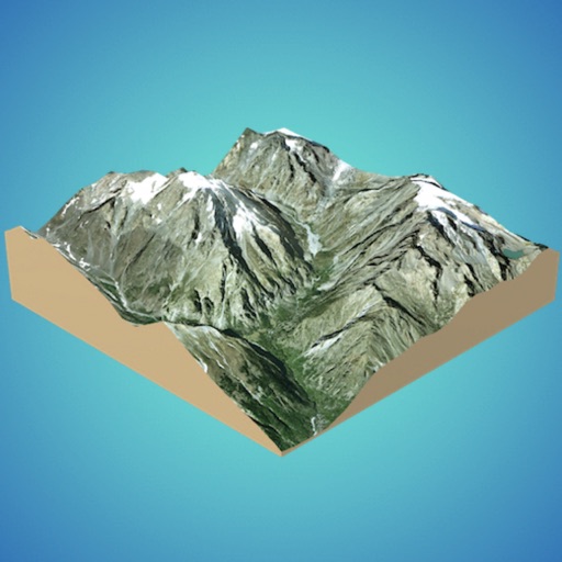
3D GIS Digital Elevation Model
Andres Narvaez
Generate 3D models from internet or cloud
Create 3D models from online sources like Bing Maps or local cloud points. Export data as CSV, TXT, STL, or OBJ. Modify models by cutting, scaling, and animating. Calculate surface areas and volumes in real-world units.

Skyscrapers by Tinybop
Tinybop Inc.
Explore floor by floor
Explore how are built and maintained. Navigate through floors and underground systems. Simulate events like blackouts, earthquakes, and dinosaur invasions. Test structural integrity and learn about engineering solutions.


How we rank alternatives
Apps are ranked by functional similarity, category fit, rating confidence, and popularity.