The app computes satellite ground tracks and visibility for multiple ground stations. It plots satellite positions, ground tracks, Sun and Moon positions, and day/night regions on Earth.
by GerSpatial★ 0.00 ratingsEducation$49.99Data updated 2026-10-11
Explore with swipe and touch to view details like name, symbol, atomic number, mass, Lewis dots, and radius. Colors indicate classification, melting point, boiling point, outermost orbital, and ion radius.
Explore interactive 3D models of the solar system and Earth's layers. Build a sundial and walk on the moon. Use augmented reality to visualize space concepts. Access 20 science projects with guided instructions.
View real-time night sky and identify celestial objects. Locate planets, the moon, and stars based on your location. Learn about solar system planets with detailed information. Track moon phases and planetary positions.
Practice guided Kundalini yoga, breathwork, and mindful reflection to release emotional blocks and center the mind. Set daily rituals, track progress with insights, and access mantras to deepen intuition and mindfulness.
The app provides a tail number search program that functions in the air. It includes a compressed FAA registration database, eliminating the need for a cell signal or WiFi.
Learn Teochew with a dictionary and phrasebook featuring 6500+ entries, including revised Romanization and supplemental information. Switch between English and French interfaces. Search entries and view detailed explanations.
Explore historical alignments of and significant . View cardinal , solstice sun paths, and lunar standstills. Locate ancient sites aligned with these . Share and save location data for reference.
The app provides frame data, move search, and combo information for fighting games. It offers a stat compare mode and multiple calculators for instant answers.
Track routes using GPS navigation, pause and resume routes, and view route statistics. Log finds with details like name, category, and location. Take photos of finds. Toggle between satellite, hybrid, and standard maps.
Calculates sun and positions with 0.3% accuracy. Determines sunrise and sunset times. Provides moonrise and moonset times. Adjusts for elevation and time zone.
Access and religious content through a magazine-style format. Watch broadcast episodes available via cable, satellite, and internet. Receive updates on current events and church-related topics.
View high-resolution multispectral aerial images to monitor crop health. Identify issues early, manage water stress, and track uniformity. Adjust field operations based on detailed imagery analysis.
Watch footage with commentary and production notes
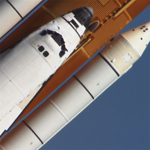
View and playback footage from STS-114, STS-117, and STS-124 missions. Access commentary, additional scenes, images, and production notes. Search and navigate through the entire collection.
Access real-time alerts and deployment notices. Participate in role-specific lounges for pilots, ground crews, and logistics. Complete structured onboarding with training modules and a Code of Conduct. Communicate through community channels.