The app provides current FAA aviation charts updated every 28 days, including approach plates for the USA. It offers VFR, IFR, and other chart types, with METAR/TAF and IFR overlays.
by SkyCharts LLC★ 5.02 ratingsNavigationFreeData updated 2026-10-09
View real-time marine , including forecasts, , and wind speeds. Check wind directions and sea conditions. Access tide charts and marine forecasts. Use GPS to locate data nearby. Add widgets for quick updates.
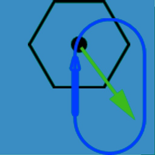
The app visually represents an aircraft and a holding pattern relative to a navigation aid. Users can learn to determine their position using ADF, VOR, and heading information, and identify correct entry patterns for standard and non-standard holds.
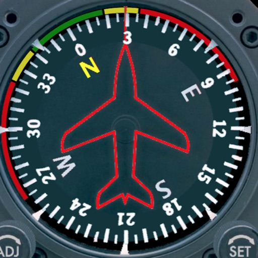
Displays a photorealistic -style indicator with both analog and digital readouts. Users can toggle rotation lock, simulate the instrument indoors, and view improved graphics. Supports latest iOS versions and includes bug fixes.
Log time segments and calculate total time with Time. View block and duty intervals to manage scheduling. Perform preflight performance checks using aviation-specific calculations.
The app provides a reference for marine chart symbols, abbreviations, and terms. It includes over 800 entries, a search function, and a sample chart with popups.
The app provides a reference guide to error messages for Boeing 737 series aircraft. It covers nearly four hundred errors from the PFD/ND, FMC, and panel modules, with links to descriptions and corrective actions.