The app allows users to create and edit information in OpenStreetMap. Users can add points of interest, streets, paths, buildings, and bodies of water, with full undo/redo support and offline capabilities.
by Bryce Cogswell★ 4.8341 ratingsUtilitiesFreeData updated 2026-10-08
Measure distance by dropping pins or drawing paths on a map. Calculate total distance and segments between locations. Search and auto-complete locations. Use current location. Save and share custom maps. View Standard, Hybrid, or Satellite map types.
Find wheelchair accessible locations such as restaurants, cafes, and parking lots. View accessibility ratings from users and partners. Search by location or category. Filter results by accessibility features. Save favorite places.
The app offers turn-by-turn GPS navigation with features for blind users, including intersection descriptions and a LookAround Wand. It recalculates routes automatically and announces nearby points of interest and heading changes.
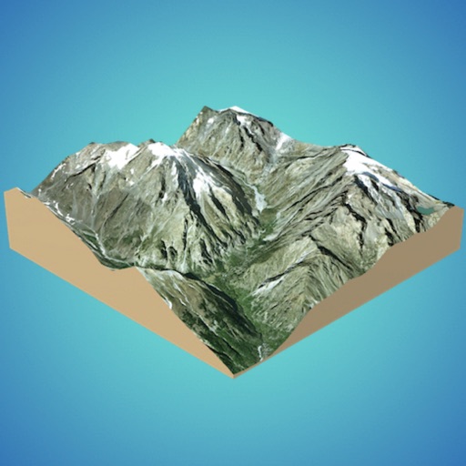
Create 3D models from online sources like Bing Maps or local cloud points. Export data as CSV, TXT, STL, or OBJ. Modify models by cutting, scaling, and animating. Calculate surface areas and volumes in real-world units.
View topographic, satellite, and road . Download official IGN for offline use. Find and follow hiking and biking routes across Europe. Record, save, and share routes online. Set waypoints and track progress. Navigate without cellular signal.
The app integrates mapping technology and augmented reality for outdoor experiences. It offers an offline peak database, AR peak visualization, and multiple map providers and types.
Edit photos and videos with flexible tools. Switch between landscape and portrait modes. Import extended text files. Use unlimited undo and redo functions. Make one-time purchase for lifetime access without subscription fees.
The app provides offline GPS navigation for hiking and mountaineering, displaying the user's location on topographic maps. It allows users to record their routes and works without cell service.
View topographic of with detailed scale options and lake depth information. Access property data via in- purchase. Download for offline use. Navigate using precise map data and location features.