The app displays hunting zones overlaid on various maps for users to determine their location and corresponding zone. Users can view open seasons for different game types and add personal waypoints, tracks, and drawings.
by Inside Outside Studios Inc.★ 4.8341 ratingsSportsFreeData updated 2026-10-05
Access exclusive hunting content without ads. Watch live streams and view all episodes of Tracks and On Your Own Adventures. Get early access to new material. Receive hunting strategies, tutorials, and lessons. Subscribe to unlock all features.
Plan lobstering trips with interactive maps and real-time navigation. Track catches and locate proven lobster spots. Identify no-take zones in Miami-Dade and Monroe Counties. Access GPS charts for precise positioning and routing.
Hunters track runners using real-time GPS maps. Runners avoid capture with compass guidance. Players use special abilities like invisibility, blinding, or revealing enemies. Compete in real-time multiplayer chase mode.
Control aircraft using click & go flight and joystick functions on an iPad. Preset flight courses and manage missions through the control software. Supports Bluetooth 4.0 iPad devices for wireless operation.
The app provides real-time GPS tracking for outdoor activities. It offers route planning, navigation, and track recording with live statistics, all while ensuring user privacy with no data collection.
Play calling and set timed loops. Access solunar calendar for times and feed schedules. Track major and minor feed periods to plan days. Support background playback for continuous use. Includes 14 whitetail .
The app offers over 100 hunting calls for various animals including deer, waterfowl, birds, elk, and predators. It features a remote control function and a mixer player allowing users to combine up to 16 calls with individual volume control.
View and analyze photos quickly in the field using the ChipReader. Identify low pressure areas on hunting land. Track deer movement patterns to locate activity zones. Save and review image data for hunting insights.
Check current using internal GPS and Wi-Fi data. View latitude and longitude in decimal degrees, degrees decimal minutes, and degrees minutes seconds. Suitable for trips, sports, geocaching, and solo travel.
The app provides offline mapping for iOS devices using downloaded OSM vector maps. Users can navigate without an internet connection, ideal for travel or areas with no service.
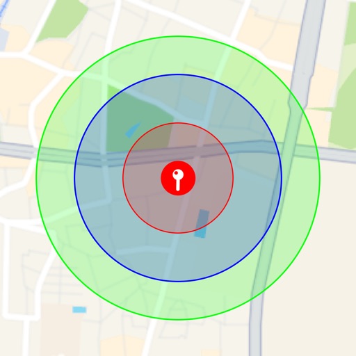
Visualize around map pins to compare distances. Set up to three per pin. Search locations and check nearby points of interest. Switch between standard and satellite map views. Automatically save pins for future reference.