

Apps Like iHunter for iPhone and iPad
Canada's all-in-one hunting app
The app displays hunting zones overlaid on various maps for users to determine their location and corresponding zone. Users can view open seasons for different game types and add personal waypoints, tracks, and drawings.
iHunter screenshots
Ranked alternatives
Showing 201–220 of 1,000 ranked alternatives.


Map Marker: places organizer
Sebastien BIERO
Set markers offline with details
Create and manage markers with custom titles, descriptions, dates, colors, icons, and images. Move markers freely on the map. Organize them into folders. Search and browse markers via a text-searchable list.


SWAROVSKI OPTIK Hunting
SWAROVSKI OPTIK KG
Connect and control hunting equipment easily.
The app connects and controls hunting equipment from a single device. Hunters can access features like map viewing and ballistics, improving their chances of success.


Luminos Map: Twilight Nav Tool
Mapnitude Company Limited
Sun Moon Twilight Navigation Tool
The app provides real-time Sun and Moon data, including sunrise, sunset, moonrise, and moonset times globally. It features a time-chart and interactive map for accessing celestial data and exploring seasonal shifts.

Waterfowl Call
K SOLUTION LLC
Hear the call of the wild.
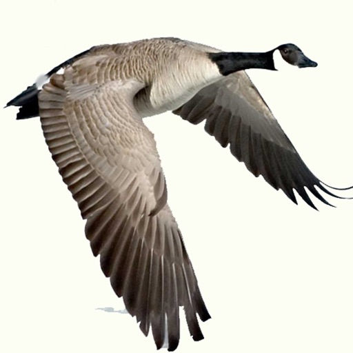
The app provides waterfowl hunting calls for various species including ducks and geese. It features individual volume control for mixing up to 16 calls and includes weekly moon phase data and an animal activity rating.

CoveyIQ
Cloud Castle Inc.
Log quail hunting data in field.
The app allows users to log quail hunting data in real-time. It captures and tracks key hunting metrics such as covey finds per hour by hunt party and dog.

BikeComputer Pro
Robert Oehler
Offline maps for worldwide activity.
The app provides offline maps for worldwide use, enabling navigation without a data connection. It tracks activity metrics like distance and speed, offers route creation, and supports GPX file import.

Leupold Control
Leupold & Stevens, Inc.
Customize modes, capture ranges, mark waypoints
Customize settings and modes for products. Capture precise range measurements. Mark GPS waypoints. Navigate backcountry terrain. Plan courses of fire or recovery operations. device functions remotely.

iTacTic
3B Soft srls
Track race routes and export GPS data
Configure sailboat performance settings from 2-20kn and set start line, wind direction, and intensity. Track real-time GPS data during races and record performance continuously in the background.


Speedometer Limit Camera
IBN Software GmbH
Track speed and detect road signs
Tracks current speed and speed limits using -based road sign detection and OpenStreetMap data. Displays speed warnings in real time. Alerts users to zone 30, inner-city, and implicit speed limits. Shows speed and at a glance.

Trophium
Trophium, LLC
Capture adventures, organize trophies, share stories
Organize hunting and fishing trips with location, photos, videos, and weather data. Add stories and filter content. Share trips with friends or groups. Track friends and favorite guides.
How we rank alternatives
Apps are ranked by functional similarity, category fit, rating confidence, and popularity.