Apps Like UTM Grid Ref Compass for iPhone and iPad
Locate yourself using UTM coordinates.
The app displays the user's current location in the UTM coordinate system. It provides the UTM Grid Ref, Compass Bearing, WGS84 Latitude and Longitude, and Hemisphere.
by Michael Irving★ 4.118 ratingsNavigation$0.99Data updated 2026-10-31
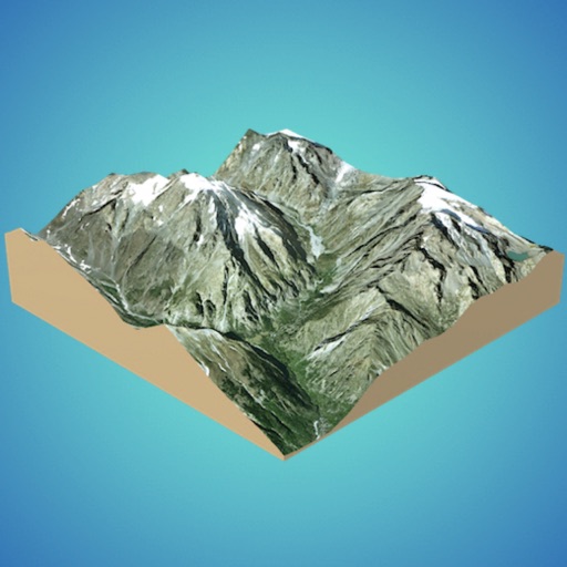
Create 3D models from online sources like Bing Maps or local cloud points. Export data as CSV, TXT, STL, or OBJ. Modify models by cutting, scaling, and animating. Calculate surface areas and volumes in real-world units.
Set alarms using Siri Shortcuts or voice commands. Choose alarm type based on position, bearing, distance, or coordinates. Access widgets on iOS14 Home Screen. Switch between day and night themes and metric or imperial units.
Use to determine directions and navigate. Rotate device 360 degrees for orienteering. Access camera preview to align with surroundings. Set bearings and track movement without GPS.
Track altitude with real-time measurements. Use a sensitive compass for accurate direction. Capture latitude and longitude data via camera. Monitor atmospheric pressure and magnetic field readings. Check real-time location data and sync with maps.
Display maps using GPS and MGRS coordinates. Measure distances and bearings between points. Save and share location data. View terrain and elevation details. Navigate with compass and grid alignment.
Track boat movement with a showing direction. View current in knots, miles, or kilometers. Set limits and switch units. Display a map of your cruise route and share it. Log maximum and average .
The app provides offline GPS navigation for hiking and mountaineering, displaying the user's location on topographic maps. It allows users to record their routes and works without cell service.
View real-time camera and map views with markers and up to 8x zoom. Adjust orientation for navigation. Track bearings for land, sea, or air travel. Sync with devices for accurate directional guidance.
The app offers coordinate conversions for Swissgrid and WGS84 formats. It displays typed or current coordinates on a map and includes tools like ASCII, rotation, and prime number checking.