The app measures the direct distance and angle between any two points on a map. It can register a starting point and destination, and search for locations on the map.
by Looped Picture Company★ 0.00 ratingsNavigationFreeData updated 2026-09-28
Enter MGRS or coordinate data to navigate to specific points. Adjust pace count and track deviations. View distance, speed, and angle settings in meters/km or feet/miles. Analyze movement patterns for navigation improvement.
Create GPS traces with waypoints and save them as GPX files. Use offline maps for navigation without time limits or ads. Share track data and contribute to Street Map. Keep routes private and edit existing traces.
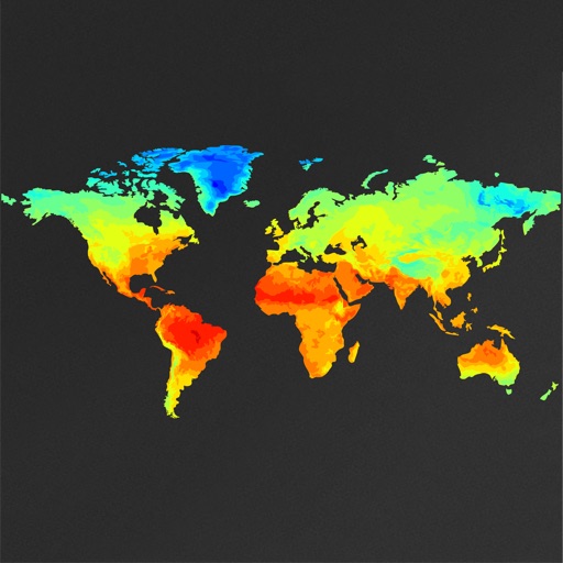
View global weather data with interactive map panning and zooming. Switch between weather layers for current and forecasted conditions. Track detailed weather changes up to 0.25 degrees on land or sea.
Pilots can retrieve information by defining departure and destination airports. Apply filters to narrow results. View NOTAMs in text format or on an interactive map. Translate NOTAMs into multiple languages.
Explore locations with augmented reality overlays. Access detailed offline maps with zoom and regional details. Find points of interest like restaurants, hotels, and hospitals. View daily itineraries and budget-friendly options.
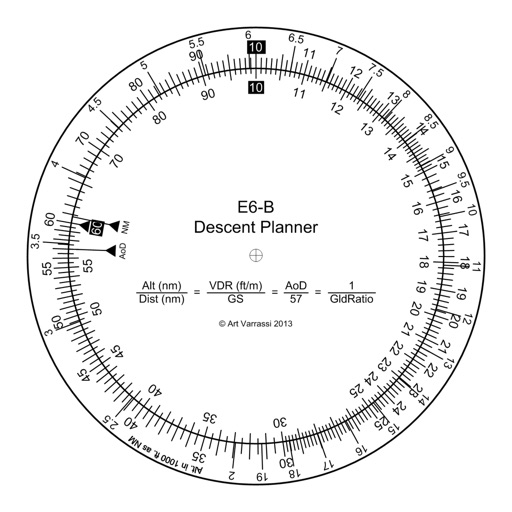
The app offers a functional circular slide rule for descent planning. It calculates top of descent distance, angle, rate, glide ratio, and maximum glide distance.
Track vehicle location, speed, and distance in real time using GPS. View live data on a map and receive instant notifications via customizable geofence zones. Send "buzz" alerts to drivers to notify them of pickup readiness.
Download high resolution USGS topographical maps for offline GPS use. View maps aligned with Apple's map kit for easy reference. Rotate, zoom, and navigate maps with precise touch controls. Explore geographical details and historical data.
Allows users to add and view on a map or sort them by name, distance, or date. Users can zoom in or out to focus on specific points. can be plotted and compared for proximity. Errands can be mapped and organized for the day.
Measure distances, remember locations, get headings.
The app measures distances, remembers locations, and provides magnetic headings between selected points. It displays coordinates in decimal degrees and degree minute second formats, and allows users to save locations with custom names.
Search locations using addresses or GPS coordinates and save them. Share bookmarks with others or send to multiple map apps. Access map overlays from Google and OpenStreetMap.
Create and manage markers with custom titles, descriptions, dates, colors, icons, and images. Move markers freely on the map. Organize them into folders. Search and browse markers via a text-searchable list.
Find hot across the USA with detailed location data. View temperature, local weather, nearest city, and search results. Access offline maps and monthly updated database. Tap to see driving distance and time from your location.
Access Best of Toronto lists and map locations to find nearby restaurants, bars, shops, and hangout spots. Search by address, neighbourhood, or TTC stop. Get latest local news and event listings.
The app measures distances to a target using the device's camera. It calculates estimated distance and altitude after the user aims at a target, moves a set distance, and aims again.
Record routes from specific locations to survey sites and display them on a map. Measure distances between coordinates or map points. Calculate areas using coordinate lists or map selections.
View subway maps for Atlanta, Baltimore, Boston, Chicago, Cleveland, Los Angeles, Miami, New York City, Philadelphia, San Francisco, and Washington. Fullscreen map with one click. Zoom using double click or two fingers. Move map with one finger.
View nearby towers on a map using current location. Tap on towers to see detailed information including signal strength, carrier, and ID. Optimize mobile network performance by identifying optimal locations.
View maps for Calgary, Edmonton, Hamilton, Montreal, Ottawa-Gatineau, Quebec City, Toronto, and . Fullscreen map with one click. Zoom using double click or two fingers. Move map with one finger. Show user location. Use AR navigation.
Plan trips with real-time transit data and route maps. Search for departure and arrival points to view transfer options including time, cost, and distance. Access nearby points of interest and real-time navigation updates.