Measure objects and spaces using a smartphone camera. Capture images of properties to calculate distances, perimeters, and areas. Export measurements and share results directly. Sync data across devices for accurate project tracking.
by Blue Blink One, SL★ 4.845 ratingsProductivity$299.99Data updated 2026-09-08
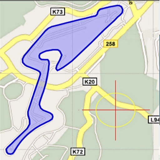
Area, lengths, and angles on maps using an interactive crosshair. Trace outlines to create connected points, updating area and perimeter in real time. Adjust radius for scaling features. View dynamic length and angle as you move the crosshair.
Measure areas and distances using GPS with real-time accuracy. Calculate land plots, fields, or property boundaries in multiple units including square meters, square feet, and acres. Add multiple points on a map to define custom shapes.
Measure finger or size using a phone camera. Input measurements to calculate size. Convert measurements between units. Save and share results. Provide guidance for accurate sizing.
The app measures angles and aligns objects using the camera. It offers a distance/height estimation tool and a traceable level for various measurements.
Measure using camera overlay and CoreMotion for accurate degree and rise/run calculations. Organize measurements by job or client. Capture and annotate photos. Generate client-ready PDF reports.
Lets users measure distances and areas on maps. They can plot radius areas with specified centres and sizes. Share maps as images to show routes, areas, or radii. Adjust colors and export map views.
Measure sound levels using your device's microphone. View real-time data and graphs. Save measurements for later review. Pause recordings and adjust sensitivity settings.
Measure surface slope in two directions with degree and percentage display. Calibrate before use for accurate readings. Hold function locks current measurement.
Book meeting rooms and reserve desks. Access open workspaces and conference areas. Check availability and manage reservations. Find locations and contact hosts directly.
Create detailed floor plans using 3D measuring tools. Measure objects or rooms by taking photos or using the screen. Leverage AR to visualize dimensions and spatial relationships. Export plans and share them directly.
Measure with precise tools to ensure accurate grading. Compare alignment to PSA, BGS, CGC, SGC, TAG, and ACE standards. Adjust and save positions for consistent evaluation. Export measurements and track grading progress.
Test internet speed with download, upload, and ping measurements. Analyze Wi-Fi and cellular performance. Identify issues and optimize connectivity. Share results directly.
Locate current position on Ohio roads using classification: County, Route, and Section. View map with assets and auto-refresh data as you travel. Export details via email. Works only on -maintained roadways in Ohio.
Manage inspection data and workflows with actionable dashboards and dynamic reporting. Track inspections, assign tasks, and collaborate in real time. Generate detailed reports and ensure compliance with customizable templates.
Manage availability and shifts for facilities. View assigned shifts, update availability, and accept or decline shifts. Access scheduling tools and communicate with facility managers.