Read UTM coordinates directly from the device. Rotate the phone for larger numbers. Send UTM coordinates via email or iMessage with a map link. The map link opens in any browser on smartphones or computers.
by Viatact AB★ 4.937 ratingsNavigation$1.99Data updated 2026-11-02
Offline map for Pokémon Legends: Arceus displays locations of regions, roaming Pokémon, Alpha Pokémon, Hisuian Pokémon, Wisps, and Unown. Includes a Pokédex with map links and integration with Dex . Tapping icons shows detailed descriptions.
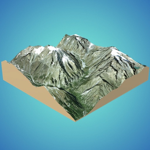
View 3D for hiking, skiing, trekking, paragliding, and mountaineering. Download and use USGS offline for navigation without internet. Track location with GPS. Display topographic data and elevation changes. Share map locations and routes.
Access trail maps offline for all Sno-Park areas. View weather reports, event schedules, and announcements. Find grooming updates and park guidelines. Navigate trails with detailed maps and directions.
Create 3D models from online sources like Bing Maps or local cloud points. Export data as CSV, TXT, STL, or OBJ. Modify models by cutting, scaling, and animating. Calculate surface areas and volumes in real-world units.
The app offers coordinate conversions for Swissgrid and WGS84 formats. It displays typed or current coordinates on a map and includes tools like ASCII, rotation, and prime number checking.
Calculate optimal PV angle for maximum electricity
Determine optimal PV angle for maximum electricity generation. Access data charts including elevation, azimuth, sunrise, sunset, and sunlight duration. Calculate vs azimuth optimization for chosen azimuth.
Offline map for Link's adventure on Koholint Island. View locations of dungeons, items, heartcontainers, and screen borders. Access dungeon maps to find bosses and items. Tap icons for detailed descriptions of enemies and collectibles.
Display current location with city, country, and coordinates. custom-named locations for parking spots or hiking trails. exact coordinates with others. View map with minimal interface.
The app looks up any latitude/longitude coordinate on the earth's surface and displays it on a satellite image or map. It is useful for finding a location specified only by its coordinates or to map out a SIGWX area.
Monitor the International Space Station with real-time tracking on an interactive world map. View current altitude, velocity, and orbital period. Access precise latitude and longitude coordinates. Choose between standard and satellite map views.
Explore by rotating, tilting, and zooming a 3D globe. Select locations to view topographic and gravity data. Pinpoint key features like volcanoes, craters, and spacecraft landing sites.
Create and manage travel tracks with waypoints. Import and export maps in .gpx format. Use with unlimited storage. Access background barometer and pedometer data. Display color gradients for speed and height.