The app configures Levil devices and displays AHRS data. It shows graphical and numerical data from Levil AHRS devices, excluding iPad/iPhone internal gyros or GPS data.
by Levil Technology★ 3.03 ratingsNavigationFreeData updated 2026-09-24
Weather provides real-time data including SOG, COG, VMC, HDG, TWS, AWS, ETAs, ETWs, and AIS. Integrates weather forecasts and calculations. Stores charts for offline use. Switches to night mode after sunset. Shares data with other devices via wifi.
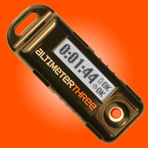
The app connects wirelessly to AltimeterThree using Bluetooth to display battery level and status. It downloads and displays interactive graphs of altitude and acceleration after flight, and can share flight data for analysis.
The app displays airport information including distance, field elevation, and required descent rate. It shows the user's current speed, course, altitude, and vertical speed, updating all data in real time.
Track Air flights in real-time with flight details, radar views, and global flight paths. Search for specific aircraft, view live positions, and access historical flight data.
The app displays vessels with live data on a map, showing their exact positions. Users can view additional details, photos, and track history for each ship.
The app provides aviation navigation for Southern Africa with a GPS moving map and detailed airfields database. It includes airspace information, flight planning, and an E6B calculator for enhanced situational awareness.
The app displays over 15,000 take-off and 4,000 landing sites on an interactive map. It includes public transport data for Switzerland and integrates worldwide webcam feeds for weather observation.
Configure aircraft parameters remotely via Bluetooth 4.0. Display real-time flight data accurately. Adjust gain values during flight for stability. Import and export data. Backup settings to cloud storage.
The app records car trips using GPS tracking and video capture. Videos include speedometer, map, and live audio, exportable to the photo library or viewable within the app.
Track and manage assets with real-time location data, event type, date and time, speed, odometer, engine hours, fuel level, battery voltage, and status. View interactive maps for vehicle and equipment monitoring.
Displays raw data without formatting for comparison across devices and OS versions. Shows information in a clear format. Configures CLLocationManager properties like desired accuracy, distance filter, activity type, and automatic pauses.