The app configures Levil devices and displays AHRS data. It shows graphical and numerical data from Levil AHRS devices, excluding iPad/iPhone internal gyros or GPS data.
by Levil Technology★ 3.03 ratingsNavigationFreeData updated 2026-09-24
The app provides movies, TV episodes, news, destination weather, and flight progress. It streams a library of entertainment titles to Wi-Fi connected devices from an onboard server.
View topographic maps of New Zealand's . Locate current position via GPS. Search for place names. Access map data offline without cellular coverage. Display detailed terrain and geographical features.
Control a four-axis drone with real-time video feed from its camera via 2.4G WiFi. Take photos and record videos directly from the mobile device. Adjust flight settings and monitor battery status remotely.
The app presents 90 images for users to find differences between pairs of photographs. New images are added frequently, and the application is compatible with all devices.
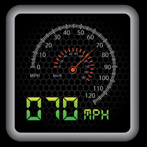
The app provides a heads-up display for a car, offering GPS-based speed information with MPH and KPH options. It includes digital and standard font modes, 12 and 24-hour clock options, and portrait and landscape orientations.