
Apps Like AHRS Utility for iPhone and iPad
Configure Levil devices and display data.
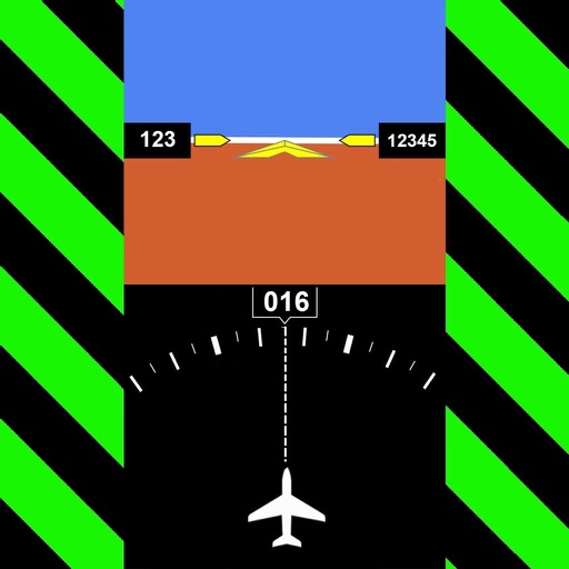
The app configures Levil devices and displays AHRS data. It shows graphical and numerical data from Levil AHRS devices, excluding iPad/iPhone internal gyros or GPS data.
AHRS Utility screenshots
Ranked alternatives
Showing 1–20 of 1,000 ranked alternatives.

Levil Aviation
Levil Technology
Display flight data and navigate safely
Display data from wireless devices like iLevil3 or B.O.M. alongside navigation apps. Customize instrument panels and arrange modules for real-time flight information.

ForeFlight Mobile EFB
ForeFlight, LLC
Plan flights, check weather, track position
Weather "View current conditions, forecasts, and radar maps. Set location-based alerts. Customize notifications for severe weather. Share forecasts with others."




MyRadar Weather Radar Pro
Aviation Data Systems, Inc
Track real-time updates
View live with animated loops up to two hours long. Track precipitation, temperature, and wind conditions. Set location-based alerts. Share images directly.


GPS Speedometer, Speed Tracker
Nikhil Kumar
Track , distance, and trips with GPS
Track with real-time GPS data and accuracy. View trip distance using a digital odometer. Access HUD mode for display on the windshield. Set customizable alerts. Function without an internet connection.

iFly EFB
Adventure Pilot, LLC
Affordable capability for VFR IFR pilots.
The app offers VFR and IFR pilots an affordable, capable, and usable electronic flight bag. It provides pilots with necessary information for safe flight, featuring an intuitive interface and pilot-focused support.

AFPS Airplane Flight Pilot Sim
Phouthasone Bouapha
Fly real airplanes in detailed open-world skies
Fly airplanes in a detailed open-world simulator with satellite maps, 3D buildings, runways, and weather conditions. Explore over 150 km² of terrain. Perform missions to progress as a .

Garmin Pilot
Digital Cyclone
Track weather and plan flights
Plan flights with detailed route mapping, weather data, and fuel calculations. Access real-time weather briefings and interactive charts. Log flight details and manage preflight checklists. Sync with avionics for consistent navigation.


Navigraph Charts
Navigraph KB
Navigate, track, and fly simulated flights
Access aviation and navigation data for flight simulation. View Jeppesen and IFR coverage at airports worldwide. Download and manage for use in simulated flights. Sync with flight simulation software for real-time data.

A-EFIS Black and White
Charalampos Baltzakis
Navigate with sensor-based accuracy
Navigation provides real-time positioning using iPhone/iPad sensors. Displays maps and routes. Offers -and- interface. Uses digital filtering and stochastic models for accuracy. Only functions in airplanes.


How we rank alternatives
Apps are ranked by functional similarity, category fit, rating confidence, and popularity.