

Apps Like Elevation - Altimeter Map for iPhone and iPad
View data by location
Determine using GPS, barometer, or location input. View data on interactive maps. Access real-time altitude readings. Compare changes across locations. Save and share measurements.
Elevation - Altimeter Map screenshots
Ranked alternatives
Showing 761–780 of 1,000 ranked alternatives.


CorrectAltitude
koji otani
Altitude determination using GPS.
The app determines altitude using data from multiple GPS satellites. It allows users to capture dated photographs with altitude information, useful for navigation and emergencies.
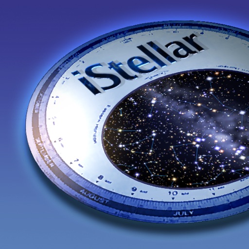
iStellar
AstroArts Inc.
Explore stars, zoom, and navigate the sky
View the night sky from any location and time. Rotate and zoom the star chart using multi-touch gestures. Identify over 16,000 stars with names for 254. Simulate atmospheric distortion and twinkling effects.


Strike and Dip
Hunt Mountain Software
Pocket transit for geological measurements.
The app records strike and dip measurements, bearings, and plunge. It simultaneously displays the user's latitude, longitude, and elevation, and saves measurements with photos and notes.




Repromap
Inside Outside Studios Inc.
Find map layers and track your location
Access real-time location data and choose from over 70 map layers for detailed boundary and land ownership info. View satellite, topographic, hybrid, and road maps. Set permissions and contact details for areas you visit.


NaviSim
Ali Ghassan
Track flight data and manage cockpit resources
Interactive enroute map for navigation, weather, and airspace visualization. Access real-time flight planning tools, including route optimization and fuel calculations. View aircraft performance data and manage checklists.


Jetting for Yamaha YZ 2T bikes
Ingenieria del Software ISEnet S.L.
Tune carb settings for 2-stroke
Configure carb settings for 2-stroke like PW 50, PW 80, YZ 65, and others. Input temperature, altitude, humidity, atmospheric pressure, and oil-mix ratio to receive recommendations. Use GPS to fetch real-time weather data for accurate adjustments.

trip 3in1(compass, map, altimeter)
友杰 邱
Compass, map, and altimeter tool.
The app provides a compass for direction, a map for location and navigation, and an altimeter for measuring height above sea level. It also offers a sharing feature to send current positions with pictures and text to contacts.
How we rank alternatives
Apps are ranked by functional similarity, category fit, rating confidence, and popularity.