
Apps Like Elevation - Altimeter Map for iPhone and iPad
View data by location
Determine using GPS, barometer, or location input. View data on interactive maps. Access real-time altitude readings. Compare changes across locations. Save and share measurements.
Elevation - Altimeter Map screenshots
Ranked alternatives
Showing 741–760 of 1,000 ranked alternatives.

GRF Snowtam
Pedro Isidoro
Decode GRF and formats
Decode GRF data for global reporting format and RCAM. Interpret codes for runway conditions. Analyze MOTNE data for runway condition codes. Convert U.S. visibility and temperature units. Calculate altitude adjustments for cold temperatures.

Global Locator
NIK PSARAGKATHOS
Position data in many formats.
The app provides coordinate reading and navigation for users needing exact position data. It supports multiple coordinate formats and works without a connection for conversions and saved places.

Picture Places When
Paul Demers
Change picture location and time.
The app allows users to copy pictures and change their location and time data. It can tag screenshots and adjust time by offset, useful for time zone changes.

GPXExplore: GPX Track Viewer
ObjectGraph LLC
View GPX tracks and see elevation changes
View GPS tracks for hiking, cycling, and running with an interactive map and elevation-based color coding. Open standard GPX files to see routes and access detailed statistics. Display tracks with a simple, read-only interface.



Moon Finder : Sun Status
HK TECHNOSOFT LLP
Track and sun positions in real time
Track sun and positions in real time using location data. View detailed information about phases, angles, and visibility. Set location manually or automatically. Save observations and share data.



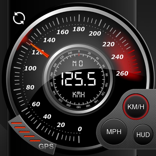
Speedo GPS Speed Tracker, Car Speedometer, Cycle Computer, Trip Computer, Route Tracking, HUD
Kevin Siml
Track , distance, and
Record data including , average , distance, altitude, and elapsed time. View real-time GPS tracking with longitude and latitude. Monitor statistics and save history. Sync with devices for offline navigation.




Track Your Ride: Cycling GPS
CrispyApps LLC
Rides, view stats, save data
Rides with live stats including distance, speed, elevation, and calories burned. View real-time location and route on a map. Save completed rides to review statistics and mapped routes later.

How we rank alternatives
Apps are ranked by functional similarity, category fit, rating confidence, and popularity.