
Apps Like Elevation - Altimeter Map for iPhone and iPad
View data by location
Determine using GPS, barometer, or location input. View data on interactive maps. Access real-time altitude readings. Compare changes across locations. Save and share measurements.
Elevation - Altimeter Map screenshots
Ranked alternatives
Showing 721–740 of 1,000 ranked alternatives.




Speedometer GPS+
Tigran Mkhitaryan
Track speed and distance with GPS
Monitor speed and distance with real-time GPS tracking. Switch between car and bike cyclometer. View average and max speed. Adjust units to mph or km/h. Check GPS accuracy and distance precision. Track time elapsed and altitude.

SkyGuardTWX
SkyGuardTWX LLC
Set squawk codes and configure transponder settings
Configure aircraft parameters like N-Number, ICAO code, and flight plan. Manually update squawk codes during flight with Vision-Pro model. Display real-time squawk code and pressure altitude data. Adjust transponder settings wirelessly.


Scenic Map Central USA
Mark Granger
Explore 3D maps offline worldwide
Navigate with a 3D topographic map of the USA. View detailed terrain and vector data offline. Use in vehicles or during outdoor activities. Access global maps online with automatic caching for offline use.
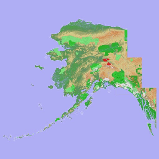
Scenic Map Alaska
Mark Granger
Explore 3D topo maps offline
View 3D topographic maps of offline with vector data. Navigate by car, boat, plane, or on foot. Access worldwide satellite maps online with automatic caching. Toggle between map types and zoom to any location.

iHikeGPS NZ : LINZ Topo Maps
James Associates Inc.
Track routes, view , navigate outdoors
Record and view hiking tracks with detailed topographic . Navigate routes using GPS coordinates. Mark waypoints and save locations. Display elevation changes and compass direction. Sync with Apple Health for activity tracking.


smartMFD by Guardian Avionics
Co guardian llc
Aircraft data display and analysis tool.
The app displays aircraft positional, attitude, and engine data. It also shows VFR/IFR charts, approach plates, and CO level alerts, uploading flight data to a web application for analysis.



RemoteFlight LITE
Vladislav Oupicky
See flight simulator aircraft data.
The app displays an aircraft's connection status, type, altitude, and airspeed when loaded in Flight Simulator or X-Plane. It requires the RemoteFlight Server utility for device connection.

How we rank alternatives
Apps are ranked by functional similarity, category fit, rating confidence, and popularity.