Your Nyon or Kiox via Bluetooth to plan routes, use navigation on the display, track activities, and enable theft protection with Lock. Syncs with systems for route planning and activity monitoring.
Monitor vehicle movement, ignition status, and location in real time. Send commands like messages and route instructions. View tracks with speed, fuel data, and other metrics on a map.
Provide turn-by-turn navigation with real-time GPS and live traffic updates. Compare multiple routes by time and distance. Recalculate routes dynamically as you drive. Control music, contacts, and other vehicle features from the iPhone interface.
Track flight altitude, speed, and heading in real time. Monitor waypoint progress and adjust flight path remotely. Control simulated flights via plugin integration. View navigation data wirelessly from a mobile device.
Record driving moments with auto-loop and collision
Record video in low, medium, high, 480, or 720 resolutions. Capture continuous footage with auto-loop technology. Use manual or auto recording modes. Trigger collision detection to save impact footage. Store videos on phone storage.
Learn to navigate flight displays and engine systems through simulated touch and bezel interactions. Explore HSI Map zoom gestures and split-screen PFD/MFD modes. Familiarize with interface elements before actual use.
Navigation allows users to view and download marine charts automatically from NOAA and US Army Corps of Engineers. Create waypoints, routes, and tracks. Use night color modes and anchor alarm. Access weather data and chart measuring tools.
Track and manage deliveries with real-time package scanning and route optimization. Use smart navigation for turn-by-turn directions and address geocoding.
Navigation allows users to view detailed maps with higher resolution and more street names. Display four times more map content on the screen. Includes sharper satellite imagery and points of interest. Adjust map scale for comfort.
Create and manage markers with custom titles, descriptions, dates, colors, icons, and images. Move markers freely on the map. Organize them into folders. Search and browse markers via a text-searchable list.
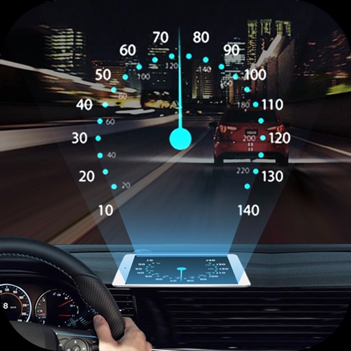
Projects speed, clock, weather temperature, cruise control, and now playing song information onto the windshield when iPhone is rotated and placed near the windshield. Displays data in landscape mode for easier visibility while driving.