
iPhone Screenshots
iPad Screenshots

Description
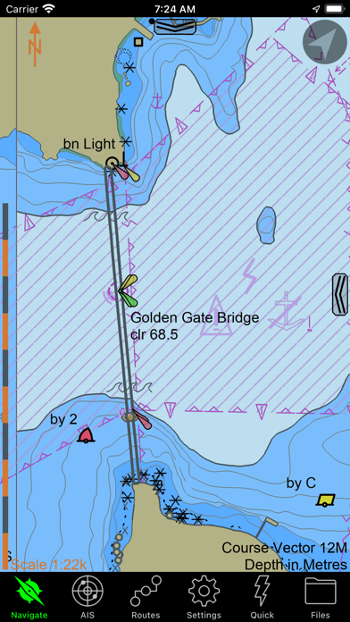
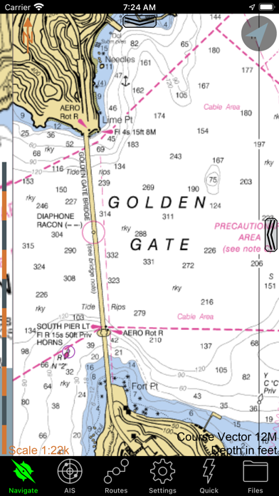
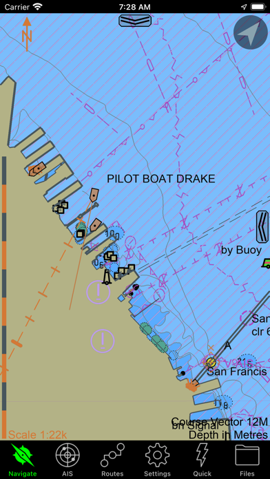
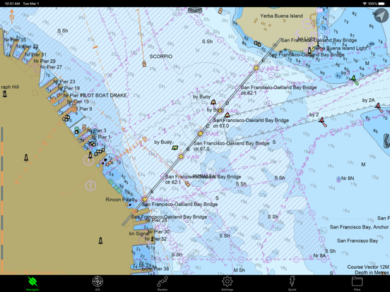
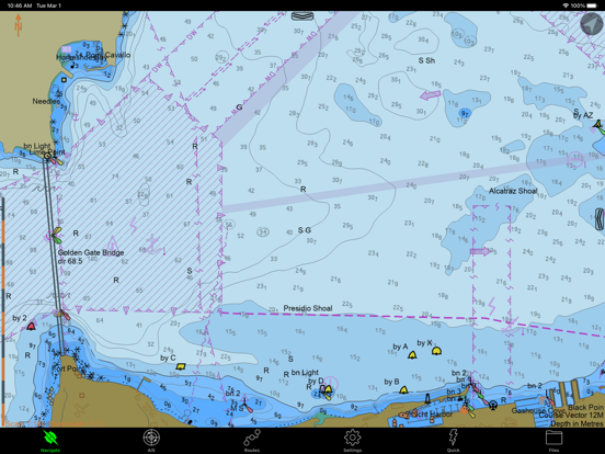
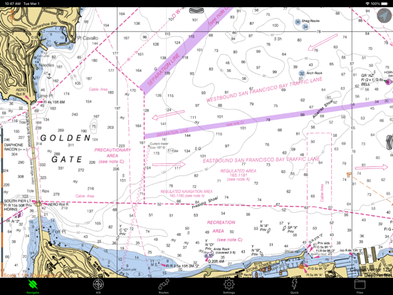
Navigation allows users to view and download marine charts automatically from NOAA and US Army Corps of Engineers. Create waypoints, routes, and tracks. Use night color modes and anchor alarm. Access weather data and chart measuring tools.
SEAiq USA is a full-featured marine navigation app. It automatically downloads all charts (both vector and raster) from NOAA and the US Army Corps of Engineers for regions of USA you select.
Other features include:
* Waypoints
* Routes
* Tracks
* Night color modes
* Anchor alarm
* Automatic download and display of weather (wind & isobar)
* Chart measuring tools (EBL/VRM)
* WiFi-based NMEA and AIS
* Raster charts
* Vector charts
No purchase is required in order to use SEAiq USA to view charts. All features are enabled during a 7-day evaluation period. After that, many of the feautures require purchase of an in-app upgrade.
Continued use of GPS running in the background can dramatically decrease battery life.
App information from Apple App Store. SEAiq USA and related trademarks belong to Sakhalin, LLC.