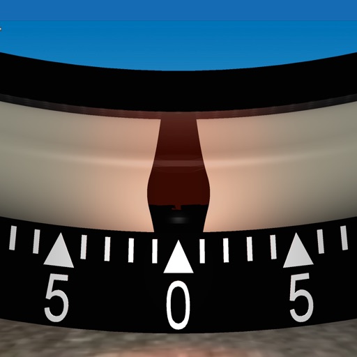
Measure vibrations in real time with X, Y, Z axis data. Record instantaneous values, min/max vibration, and energy per unit mass. Track device orientation using compass and navigation data via GPS. Save timestamps for each data point.
by Gianluca Natalini★ 3.01 ratingsProductivity$0.99Data updated 2026-09-08
Monitor and track seismic activity using built-in sensors. Measure levels with precision. Analyze real-time data for accurate readings. Record and save measurements for later review. Share results through compatible file formats.
Identify U.S. Federal Reserve currency denominations using image recognition and device camera. Communicate results via voice, beeps, or vibrations. Supports Series 1996 to current notes. Integrates with VoiceOver for feedback.
EMF Meter measures electromagnetic fields using the device’s magnetometer. Displays real-time graphs of EMF levels. Allows users to detect and analyze field strength in their environment.
The app measures vibration using phone sensors, functioning as a seismograph or seismometer. It displays a reference value and allows calibration for optimal readings.
Monitor earthquakes with real-time updates and GPS compass maps. Display professional data including altitude, orientation, air pressure, and coordinates. View environmental metrics like humidity and temperature.
Allows users to create and manage customizable events with specific timing. Events can trigger sounds, vibrations, or spoken notifications. Users can set events to announce time or lap time.
Visualize real-time audio frequencies with a spectrogram and spectrum analyzer. Adjust sample rate and frequency resolution. Identify sound frequencies, measure vocal range, and analyze audio input.
Measure levels in real time using the device's microphone. Record audio clips for later analysis. Set decibel thresholds and receive notifications when levels exceed limits. View historical data and export measurements as files.
Calculate PPI by inputting screen dimensions and pixel count. Explain PPI vs DPI and dot pitch. Provide formulas and resolution categorization. Include definitions and user comments on related terms.
Measures roadway curve angles in degrees. Calculates combined effects of superelevation, vehicle roll, and lateral acceleration. Provides advisory speed recommendations for horizontal curves. Syncs with devices for data storage and analysis.
Manage Raspberry Pi remotely with GPIO control for on/off and impulse functions. Access a file manager to explore and transfer files. Send terminal commands, view camera images, and retrieve sensor data.
Track and save Dhikr, Tasbeeh, Swalath, , and Zikr counts. Tap screen to increment counter. Counts are saved automatically and retained between sessions. Includes timer to record counting duration.
Allows users to access and monitor iPhone sensors like GPS, accelerometer, gyroscope, and barometer. View real-time from each . Export readings as CSV files. Create custom combinations and visualize graphs.