

Apps Like iAIS for iPhone and iPad
Track AIS targets and GPS data
View AIS targets plotted relative to device position. Tap targets to see speed, course, destination, type, and length. Display GPS and wind data on an instrument panel. Overlay AIS targets on Navionics charts with an in- purchase.
iAIS screenshots
Ranked alternatives
Showing 201–220 of 1,000 ranked alternatives.


Speedometer''
PYROGUSTO INC.
Calculate speed using iPhone GPS.
The app displays the user's real-time speed using the iPhone's GPS feature. It also shows the history of the user's speed for comparison.


SailTimer™
SailTimer Inc.
Marine weather for all boats.
The app provides marine weather forecasts and crowdsourced wind maps. It offers features for all boat types, including route viewing and offline map usage.



Theodolite HD
Craig Hunter
Navigate with compass and GPS
Measure distances and angles using a rangefinder and inclinometer. View real-time compass direction and GPS location. Overlay maps and take geo-tagged photos or videos. Calculate navigation routes and track elevation changes.

Sp33dy - gps speedometer hud
VONNLU LTD.
Track speed and record video overlays
Track current speed, average speed, and maximum speed using GPS. Display speed camera locations. Overlay video recording speed on footage. Include HUD interface for real-time speed visibility. Sync with devices for dashcam functionality.

Boat Fix Pro
John Crawford
Track data and view GPS history
Track location in real time and view historical GPS data. Monitor vital metrics remotely. Playback past trips and set geofencing alerts. Share location with others via link.


MyTracks: GPS Recorder
CHENGDU MIAOZHI TECHNOLOGY CO., LTD.
Track location with GPS data
Track routes for hiking, running, cycling, and other activities with GPS. View recorded paths on maps. Save favorite locations for quick access. Measure distance, speed, and elevation. Export data in various formats.

Unit Ease - Metric vs Imperial
Cheng Cheng
Convert units and track conversions
Convert units for weight, length, temperature, volume, area, speed, and time. Access size charts for clothing and accessories. Perform everyday conversions like cooking measurements and tyre pressure.

Boating Weather for iPad
Blue Whale Apps, Inc.
Marine forecast for coastal zones.
The app provides marine weather data including wind speed, surf, and wave height for coastal zones in the United States. It offers one-touch National Weather Service forecasts for today, tonight, and the week, along with small craft advisories.
Link: Connect Your Boat
Navico Norway AS
Control boat systems from anywhere on board.
The app duplicates a boat's display screen in real-time on a mobile device, offering control of charts, sonar, radar, and entertainment systems. It allows wireless backup and restoration of waypoints, routes, and settings.

My Position App
Piet Jonas
See altitude and direction to targets.
The app shows user altitude and location on Earth. Users can define targets to see distance and direction remaining.
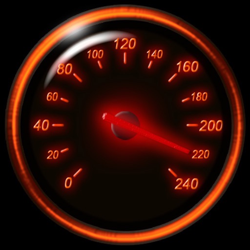
Speedometer Classic
FAPPS WORLD et Cie SCS
Track speed with GPS and unit auto-switch
Track speed using iPhone's GPS. Display speed in mph or km/h based on region settings. Show max and average speed. Choose between digital and analog display styles. Monitor speed during car, bike, running, or riding activities.

NMEA Send Location
Alexey Matveev
GPS data via WiFi, Bluetooth, USB
Sends GPS coordinates, speed, course, and heading via WiFi, Bluetooth, or USB using 0183 protocol. Transmits data at set intervals. Automatically reconnects after disconnection. Displays last sent coordinates.
How we rank alternatives
Apps are ranked by functional similarity, category fit, rating confidence, and popularity.