EZ Kitchen+
Microcad Software S.L.
Design kitchens with 3D views and items
Design a kitchen layout by placing cabinets, appliances, and accessories on walls. Choose materials, colors, and finishes. Save designs locally or email as PDF, PNG, or JPG.

Measure map features quickly and easily.
The app measures length, perimeter, and area on a map using an interactive crosshair. Users can trace map features, and dimensions update continuously.
Showing 141–160 of 1,000 ranked alternatives.
Microcad Software S.L.
Design kitchens with 3D views and items
Design a kitchen layout by placing cabinets, appliances, and accessories on walls. Choose materials, colors, and finishes. Save designs locally or email as PDF, PNG, or JPG.

AppNextDoor Labs
Calculate PPI from screen dimensions and pixels
Calculate PPI by inputting screen dimensions and pixel count. Explain PPI vs DPI and dot pitch. Provide formulas and resolution categorization. Include definitions and user comments on related terms.
GENOVA Softworks
Measure surfaces, export plans as PDF, share
Draw and measure surfaces with automatic creation. Calculate perimeter of closed and open areas. Switch between meters and feet. Adjust line width, zoom, and set custom plans. Export as image, PDF, or share via social media and messaging.

IMMOTOP.LU Le Portail Immobilier Sarl
Search properties, map areas, and save listings
Search properties by drawing areas on the map or typing locations. Use shortcuts for saved listings and recent searches. Sync data across devices. Save favorite searches and listings for quick access.


Alec Downing
Distance and area with GPS
Allows users to calculate distance and area using GPS. Tap to start and stop tracking automatically as you move. Manually input points to specific areas. Save and share measurement data.
Steven Ramsay
Calculate air flow and duct sizes
Calculates air volume, pressure loss, velocity, and duct size for rectangular or round ducts. Supports both imperial and metric units. Users input values to determine required dimensions and system performance.

Foyer Objet Inc.
Search airports by city or code
Access airport information including runway details, facility data, and operational hours. Search by city, name, or code. Save favorite airports and set a home base for quick access. Browse airports by continent, country, and region.


Bastian Kohlbauer
Navigate with turn-by-turn directions
Provide turn-by-turn optimized for trucks, buses, and RVs. Display real-time traffic updates and alternative routes. Allow users to input vehicle dimensions for accurate route planning. Enable voice-guided directions and offline map access.

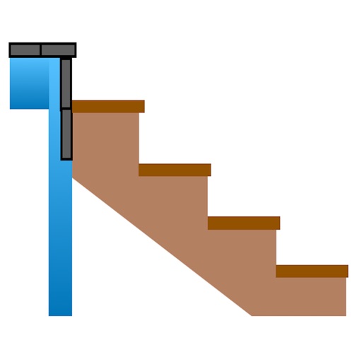
H3Apps LLC
Calculate stairs, adjust measurements, determine steps
Calculate risers, run, angle, length, step height, tread depth, and number of steps. Adjust parameters for customization. Switch between Imperial and Metric units. Email or text results as needed.
Christopher Dry
Measure curves, set advisory speeds
Measures roadway curve angles in degrees. Calculates combined effects of superelevation, vehicle roll, and lateral acceleration. Provides advisory speed recommendations for horizontal curves. Syncs with devices for data storage and analysis.

Sharpe Technology Consulting
Plot areas and calculate distances.
The app plots areas on a map by adding landmark points or dropping pins. It calculates enclosed area and distances between points, with options to add interest points and photos.

42nd Parallel
Calculate, edit, and track structures
Offers advanced baluster layout calculations for railings and staircases. Users can input measurements and receive precise spacing and quantity estimates. The simplifies complex construction math with intuitive tools and real-time adjustments.

DIGITALNAUTS INC.
View and location data
View and location data, GPS data, and information from photos. Remove privacy details from multiple images at once. See location, dimensions, and file size details. Share images securely on social media. multiple photos.
Sarah Ragab
Photos, add notes, organize files
Allows users to import photos from the camera or photo library. They can zoom in for precision, add arrows, angles, and text, and store dimensions.

James Associates Inc.
Plot courses and track your route
Use device as high-performance GPS receiver with USA Raster Nautical . Access without cell signal. Navigate safely in emergencies. Sync with chart plotter if available. Download for offline use. Track location and display real-time data.


VisTech.Projects LLC
Objects in 3D space with your camera
Distances, areas, perimeters, angles, and circle parameters using photos. Define measurement planes in 3D space. Adjust for non-parallel planes. Export measurement data. Share results directly.
Apps are ranked by functional similarity, category fit, rating confidence, and popularity.