The app measures length, perimeter, and area on a map using an interactive crosshair. Users can trace map features, and dimensions update continuously.
by Pendlebury Software LLC★ 3.845 ratingsUtilities$2.99Data updated 2026-10-05
Distances and heights using the camera. Calculate surface area and perimeter. Generate 3D models from photos. Use a bubble level and slopes. Perform various geometric calculations with precise camera-based measurements.
The app allows users to design closets by inserting cabinets, clothes, and accessories. Users can select materials and finishes, then save or email designs in various formats.
View PDF, TIFF, KAP, and KML files. Sync with iCloud, Google Drive, OneDrive, and Dropbox. Add placemarks, record tracks, and draw shapes. Share annotations in real time. Use tools like theodolite and georeferencer for map editing.
Performs X, Y, R radius calculations and theta measurements. It includes -specific functions for ducting offsets and angle computations. Features dimensional math, geometry, and trigonometry tools for precise construction calculations.
Track real-time passenger locations globally using an interactive map. View current positions, follow journeys, and explore active rail routes. Receive updates on movements and schedules.
Create detailed floor plans using 3D measuring tools. Measure objects or rooms by taking photos or using the screen. Leverage AR to visualize dimensions and spatial relationships. Export plans and share them directly.
Land, fields, and property using GPS or manual input. Place markers on the map or walk boundaries to calculate , distance, and perimeter. Choose units like square meters or square feet. Save and share measurements.
Scan rooms using LiDAR to create 3D models. Generate floor plans and interior designs. Adjust layouts and visualize changes within the scanned space. Export designs for review or sharing.
Calculate , perimeter, , and weight for 170+ geometric shapes. Input measurements or use calculation methods for missing values. Select materials like metal, wood, or liquid to determine weight. Search shapes by typing or swipe through categories.
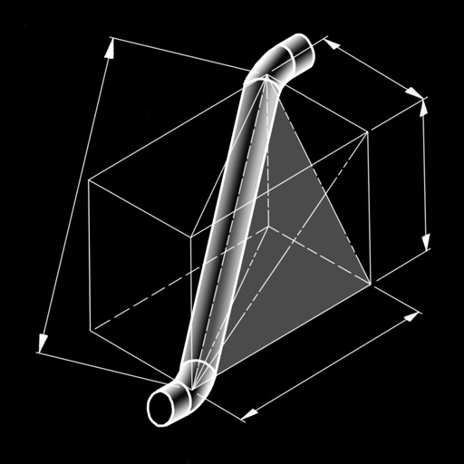
The app calculates dimensions and cut lengths for piping offset spool configurations. It presents bend angles, tangents, cut lengths, rise, run, hypotenuse, miter angles, and arc lengths.
Measure distances and areas on maps by tapping points. Switch between metric and imperial units. View precise measurements for property, routes, or land.
Calculate footage by entering length and width for multiple rectangles. Support measurements in , inches, or both. Export calculations as CSV for further use.