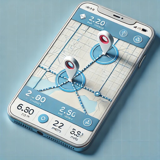
The app measures length, perimeter, and area on a map using an interactive crosshair. Users can trace map features, and dimensions update continuously.
by Pendlebury Software LLC★ 3.845 ratingsUtilities$2.99Data updated 2026-10-05
The app looks up any latitude/longitude coordinate on the earth's surface and displays it on a satellite image or map. It is useful for finding a location specified only by its coordinates or to map out a SIGWX area.
The app connects to Correlated Solutions' digital image correlation systems via wifi. It provides features for camera alignment, histogram display, exposure control, and image acquisition triggers.
Calculate stairs, decking, and flooring with precise measurements. Input dimensions in any field. Adjust for tread, step rise, incline, and specific formulas like '2R+G' or '2R+TD'. Access help via double-tap on buttons.
The app provides tools for timber stand basal area estimation and GPS data collection. Users can map land parcels, create grid points, and import or digitize features.
Navigation provides turn-by-turn directions, map views, and route planning. Track location and movement with . Switch between Stand-Alone and Network modes. Save and share trip logs. Set waypoints and measure distances.
The app provides an offline map of the Hong Kong MTR system and the Shenzhen Metro. It displays all subway stations and the connection between Hong Kong and Shenzhen.