

Apps Like Elevation For Real for iPhone and iPad
Real-time elevation and ground data.
The app displays real-time elevation using the device's GPS receiver and geoid model. It also shows ground elevation from web services and includes a real-time map with spot elevation data.
Elevation For Real screenshots
Ranked alternatives
Showing 841–860 of 1,000 ranked alternatives.




NagasakiARchive
英徳 渡邉
See Nagasaki's past in AR.
The app displays historical materials of the Nagasaki Atomic Bomb Attack in map and augmented reality views. Users can view past situations around them using GPS and see overlays of 1945 Nagasaki on the actual cityscape.

Rastrack Plus
Jose Ricardo Ley Alvarez
Track assets with GPS real-time
Track and manage vehicle locations in real time using GPS. View maps, set geofences, and receive alerts for movement or tampering. Export logs and share location data with authorized users.
Boat Instruments
FB Imray Laurie Norie & Wilson GmbH
Boat instrumentation and AIS companion.
The app displays depth, speed, course, wind, location, rudder, and RPM. It shows nearby targets with relative position, speed, and course, and provides collision warnings.
iGadget
Paul Manson
Navigate with compass and track altitude
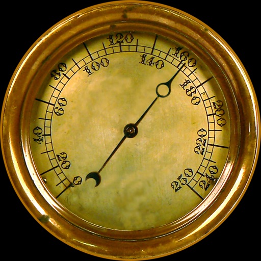
Navigation provides altitude, barometric pressure, and compass readings. Measures humidity, rainfall, and temperature. Includes magnifying glass, metronome, ruler, and spirit level. Displays speed, vertical speed, and VU meter.



GTS-GLOBAL TRACKING SOLUTIONS
jose polanco
Track objects, receive alerts, generate reports
Track objects in real time with GPS. Receive specific notifications and alerts. Generate detailed reports. Manage fleets or personal vehicles. View location history and set geofences. Share data with others.


How we rank alternatives
Apps are ranked by functional similarity, category fit, rating confidence, and popularity.