

Apps Like Elevation For Real for iPhone and iPad
Real-time elevation and ground data.
The app displays real-time elevation using the device's GPS receiver and geoid model. It also shows ground elevation from web services and includes a real-time map with spot elevation data.
Elevation For Real screenshots
Ranked alternatives
Showing 821–840 of 1,000 ranked alternatives.

Tracker Nigeria
Tamilarasan Kannan
Track devices, view maps, receive alerts
Monitor GPS devices in real time with live tracking. View custom info windows for device details. Playback historical location data. Generate reports and send push notifications for alerts or updates.

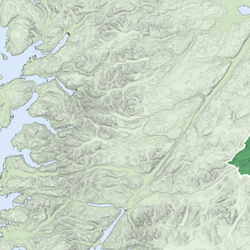

Locus Pokus
JOUL
Collaborative real-time event maps shared.
The app allows users to create shared, real-time maps for events. Participants can view each other's locations and contribute information to the map.


GPT - Gpacers Poseidon Tracker
Yu Lung WANG
Track vessels, receive alerts, and access black
Monitor real-time location and environmental data for marine activities. Receive smart alerts for safety risks. Access offline maps and navigation tools. Record and retrieve black box data for incident review.
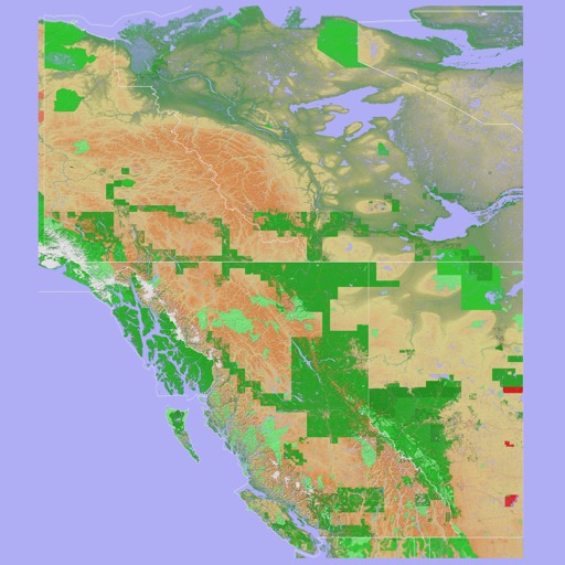
Scenic Map Western Canada
Mark Granger
3D topo map of Western Canada
The app provides a 3D topographical map of Western Canada. Map data downloads to the device for use without an internet connection, allowing users to view terrain features as small as ten meters.
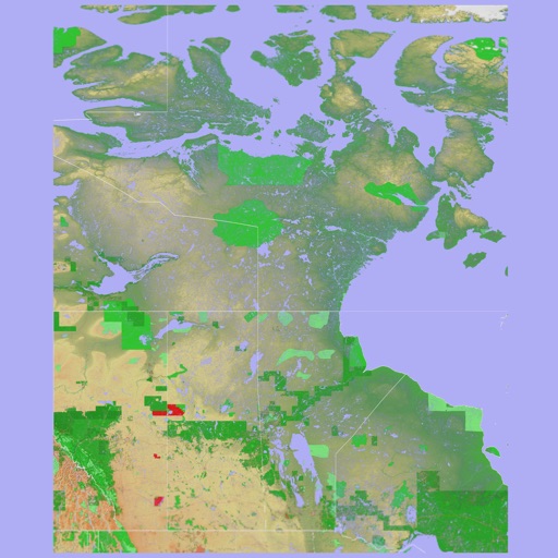

Scenic Map Eastern Canada
Mark Granger
3D topographic map of Eastern Canada
The app presents a 3D topographic map of Eastern Canada. Users can download map data for use without an internet connection, suitable for various travel methods.

CharterSat
Fastmedia srl
Real-time boat tracking solution.
The app tracks a boat's location in real-time using GPS technology. Users can view the boat's position on a map.


How we rank alternatives
Apps are ranked by functional similarity, category fit, rating confidence, and popularity.