

Apps Like Elevation For Real for iPhone and iPad
Real-time elevation and ground data.
The app displays real-time elevation using the device's GPS receiver and geoid model. It also shows ground elevation from web services and includes a real-time map with spot elevation data.
Elevation For Real screenshots
Ranked alternatives
Showing 701–720 of 1,000 ranked alternatives.

FlooGPS
RADIOWORKS MICROELECTRONICS PTY LTD
Receive location data via Bluetooth
Use iPhone as a GPS receiver for desktop apps like Google Earth Pro. Send location and speed data via Bluetooth to FlooGoo FMA100 adapter. Connect to USB serial port on Windows, Mac, or Linux systems. No driver installation required.


Global Position
NIK PSARAGKATHOS
Track location and navigate routes
Track precise location with Decimal Degrees, DMS, UTM, and MGRS formats. Access topographic maps and route planning. Set waypoints and measure distances. Share coordinates via email or messaging. Sync with GPS devices for real-time navigation.



iGPS
Ynfo SAS di Graziano Gennaro & Co.
Access GPS and weather information.
The app provides access to device GPS functionality, displaying heading, compass, map views, speed, distance, coordinates, and altitude. It also offers weather information including temperature, humidity, pressure, cloud cover, and wind speed.



WX Course
Alejandro Martinez de Carvajal
Track GPS data and compass direction
Track GPS data including , speed, latitude, longitude, and signal accuracy. View real-time compass with COG data for S0, S1, S2, and S4. Receive data from iPhone while using Apple Watch.


NMEA Send Location
Alexey Matveev
GPS data via WiFi, Bluetooth, USB
Sends GPS coordinates, speed, course, and heading via WiFi, Bluetooth, or USB using 0183 protocol. Transmits data at set intervals. Automatically reconnects after disconnection. Displays last sent coordinates.

VIAVI OSPREY
Viavi Solutions, Inc.
Simulate routes and waypoints
Create static waypoints and dynamic routes for avionics testing. Simulate GPS signals for receiver validation. Upload daily almanac data automatically. Support single or dual GPS antenna setups. Configure up to 10 channels.

EYERIDE
Mitech Technology LLC
Track vehicle data and manage fleets
Manage vehicle operations with real-time GPS tracking, live video feed, and detailed reports on idle time, speed limits, and start/stop events. Monitor fleet performance, set state line alerts, and generate comprehensive vehicle analytics.


Snowbird Mountain Map
EARTH CHANGE OBSERVATION SYSTEMS, LLC
Navigate trails and track your route
Navigate trails and routes with detailed topographic maps. Mark favorite locations and save custom trails. Get real-time elevation data and weather updates. Share GPS coordinates with others.

Scenic Map Grand Canyon
Mark Granger
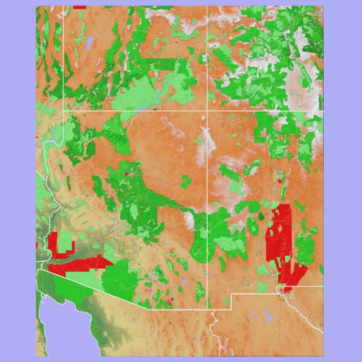
Explore landscapes in three dimensions.
The app provides 3D topographic maps for iPad and iPhone. Vector map data is contained within the app for offline use, supporting navigation in various environments.
How we rank alternatives
Apps are ranked by functional similarity, category fit, rating confidence, and popularity.