

Apps Like Elevation For Real for iPhone and iPad
Real-time elevation and ground data.
The app displays real-time elevation using the device's GPS receiver and geoid model. It also shows ground elevation from web services and includes a real-time map with spot elevation data.
Elevation For Real screenshots
Ranked alternatives
Showing 721–740 of 1,000 ranked alternatives.


Map for Tokyo Disneyland
YOSHIAKI OKUMA
Tokyo Disneyland map with GPS
The app provides a map for Tokyo Disneyland in Japan. Users can find attractions, restaurants, and shows, with directions available via GPS and compass.

Ultramagic FlightPack
Ultramagic, S.A.
Track flights with offline maps and weather
GPS track with color-coded altitude layers to identify wind patterns. Crew members view real-time flight tracking on a webpage. Includes offline maps, weather forecasts, load calculations, and a flight logbook.


Locate me
Daniel Underwood
Find the user's current position.
The app provides a user's current position, including GPS coordinates, altitude, and address. It can be used without a cellular signal.

TactiTrack GPS
Jamie Noplis
Track GPS devices in real time
Track GPS devices in real time with live updates. Set geofences and receive motion detection alerts. Access Streetview for location details. View device history and manage settings remotely.


MapApp NZ South Island
Saga Systems Ltd
Explore maps, find locations, track GPS
View topographic maps of New Zealand's . Locate current position via GPS. Search for place names. Access map data offline without cellular coverage. Display detailed terrain and geographical features.

Here Easy
Blue Blink One, SL
Know where users are easily.
The app provides coordinates, direction, and elevation above sea level. Users can save locations by searching and tapping on the map, then send this information via email, Twitter, or SMS.


Alsajer Track
Al Sajer for Security Services LTD
Vehicles and manage fleets in real time
Vehicles in real time using GPS devices. Monitor fleet locations and movement. Receive alerts for geofence violations. View historical data and generate reports. Integrate with security systems for real-time monitoring.

HillTop GPS
Hilltopco, LLC
Track assets, set routes, manage maintenance
Monitor fleet locations in real time using GPS hardware. Configure custom trip routes, set maintenance reminders, and generate custom reports. Track asset movements and manage vehicle data remotely.


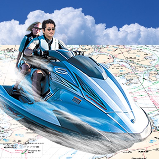
Japan Chart Navi
FujiDenshiDotCom
Navigate with real-time sea maps
Navigate using GPS to find sea routes and locations. View detailed maps and charts. Mark and save waypoints. Track speed and depth. Share coordinates with others. Sync with other devices for real-time updates.


How we rank alternatives
Apps are ranked by functional similarity, category fit, rating confidence, and popularity.