The app displays real-time elevation using the device's GPS receiver and geoid model. It also shows ground elevation from web services and includes a real-time map with spot elevation data.
by homedatasheet.com, Inc.★ 3.24 ratingsNavigationFreeData updated 2026-09-12
View vehicle locations on a map. Check current fuel consumption and speed. Access reports and notifications. Track route history and assigned drivers. Monitor vehicle status and statistics in real time.
Find attractions, restaurants, and shows within DisneySea. Use GPS and compass for directions. Search for real-time details online. Chat with other users. Store a preferred parking location.
The app measures distances to a target using the device's camera. It calculates estimated distance and altitude after the user aims at a target, moves a set distance, and aims again.
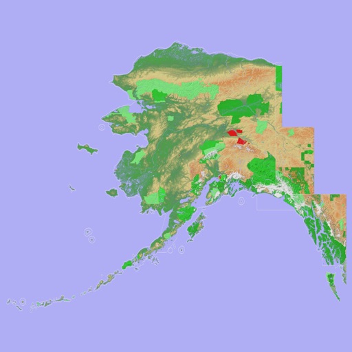
Navigate with a 3D topographic map of the USA. View detailed terrain and vector data offline. Use in vehicles or during outdoor activities. Access global maps online with automatic caching for offline use.
View 3D topographic maps of offline with vector data. Navigate by car, boat, plane, or on foot. Access worldwide satellite maps online with automatic caching. Toggle between map types and zoom to any location.