Create and collaborate on detailed maps using satellite imagery and 3D terrain. Explore cities with 360° Street View. Add annotations and share maps with others. Navigate streets and view neighborhood details.
by Google LLC★ 4.047,610 ratingsTravelFreeData updated 2026-11-14
Navigate with offline marine, lake, and outdoor maps. Access worldwide satellite and terrain overlays. View local weather forecasts. Use NOAA, USGS, and DRG data for detailed charting.
Navigate using real -level imagery with a single tap. Explore locations as if present, preview destinations, or revisit memories. Move between map views and immersive 360-degree scenes. No complex tools or clutter.
Track travel locations on a map. Draw routes and mark destinations. View visual maps of traveled paths. Save and revisit travel history. Share trip details with others. Customize map views and annotations.
Explore mountain biking trails with offline maps and GPS route details. View elevation profiles and interactive features. Access photos and expert recommendations for rides near you or in searched locations.
Navigate roads with voice-guided offline maps. Access real-time traffic updates and alternate routes. Track driving time and fuel efficiency. Sync with vehicle systems for turn-by-turn directions. Receive alerts for speed limits and road closures.
The app provides worldwide marine, lake, and outdoor maps, satellite imagery, and terrain features. It offers local weather forecasts, tide data, and community information for boaters and fishermen.
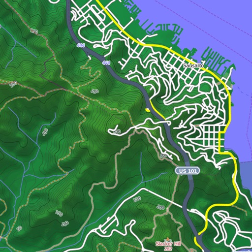
View and download detailed maps with topographical hillshading and contour lines. Store maps for offline use. Navigate using detailed terrain features. Find hiking trails, ski runs, and back streets.
Explore detailed 360° views of over 500 across 30+ cities. Navigate using Apple Maps integration. Zoom in for close-up details. Tap to learn historical facts and visitor tips. Save favorite locations for future reference.
View and analyze satellite imagery for fishing conditions. Locate and track fish populations. Set waypoints and save maps. Share images and data with other users. Receive real-time updates on weather and currents.
Explore 14,000+ tourist attractions across U.S. states and D.C. Search for waterfalls, roadside food, museums, and street art. Book experiences directly. Save and share location-based photos. Navigate with maps and points of interest.
Access real-time reports and high-resolution satellite imagery to plan trips. View detailed reports, track fish species, and analyze water conditions. Share insights with other anglers and save favorite spots for future trips.
-level footage from any location worldwide. Navigate through real-time camera feeds to explore cities, nature, and wildlife. Access travel tips and discover streams from various global locations.
Distances and areas on satellite maps. Select objects like lawns, roads, and buildings. Save and share measurements. Export data in various formats. Sync with other apps for project planning.
Provide turn-by-turn voice with real-time traffic updates. Display maps and satellite views. Access offline maps and GPS directions without internet. Find nearby food, events, and activities. Include Google Street View for location details.
Navigate with marine and outdoor offline. Overlay satellite and terrain data on charts. Access local weather forecasts. View worldwide and satellite imagery when connected. Use NOAA raster data for detailed navigation.
Explore cities through interactive . Solve clues, complete challenges, and uncover hidden locations with friends or family. Track progress, share achievements, and discover local landmarks through gamified exploration.