Create and collaborate on detailed maps using satellite imagery and 3D terrain. Explore cities with 360° Street View. Add annotations and share maps with others. Navigate streets and view neighborhood details.
by Google LLC★ 4.047,610 ratingsTravelFreeData updated 2026-11-14
Provide 7-day forecasts in 3-hour intervals. Display weather reports for 2 million global locations. Show detailed temperature, wind, pressure, precipitation, humidity, UV index, and feels-like data. Supports Apple Watch integration.
Access GPS navigation and land ownership data for fishing. Locate lakes with detailed fisheries information. View satellite imagery and apply filters for ice fishing. Find trails, access points, and land ownership details.
Explore cities with interactive maps and audio guides. Navigate offline using walking, bus, tram, and river routes. View distance and travel time estimates. Access points of interest with native actor commentary. Create and follow custom itineraries.
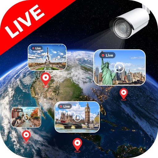
Watch live HD streams from hundreds of hidden cameras around the world. Explore cities, mountains, waterfalls, and beaches. wildlife in their natural habitats across Asia, America, and Africa. Stream 24/7 without downloads or installations.
Explore maps with detailed satellite views, hiking trails, and topography. Navigate transport networks and view railway routes. Access terrain analysis and seas. Customize map layers for OpenStreetMap and tile-based maps.
The app measures distances, perimeters, and areas with precision over satellite images. It calculates surface areas, dimensions for fencing, and more without needing to be on location.
Liquid Apps Bilgi ve Operasyonel Teknolojileri Limited Sirketi
Phone to control car functions
Your phone to control music, navigation, and communication tools. Access real-time traffic data and detailed maps with satellite and transit modes. Receive turn-by-turn directions and manage calls hands-free.
Plan and execute backcountry trips with detailed topographic maps. Customize maps for specific activities. Download and compare maps for offline use. Combine overlays to adjust map views. Build routes with smart tools.
Explore famous and TV show filming globally. View scene stills, GPS coordinates, and 360° street views for each location. Use Google Maps integration to navigate and plan routes to destinations.
Capture photos with GPS, date, and time tags. View live cameras from various locations. Explore 360-degree panoramic images. Navigate using an interactive 3D Earth map. Check real-time traffic and travel updates.
Displays real-time location and current /sector boundaries. Shows crime/incident data and sector maps. Includes satellite and street view layers. Provides quick access to contact info and navigation tools.
Navigate using synchronized and map. Designate points by holding. Create routes and add multiple pins. four map types and traffic. Share locations. Search for places. Switch between portrait and landscape modes.
Save money by completing missions and odd jobs. Track daily expenses and choose between hotels or street sleep. Explore cities through trivia challenges. Learn facts while progressing through different locations.
View feeds from global locations including landmarks, cities, and natural sites. Browse cameras by country. Adjust stream quality and save clips. Share streams via social media or messaging apps.
Check current weather, wind speed, air quality, and sea conditions. View radar images and meteograms. Customize widgets. Access live webcams. Set alerts for severe weather. Track forecast changes in real time.
Check current weather with customizable widgets on Home and Lock screens. View hourly and 14-day forecasts. Access real-time UV Index and Air Quality Index. Explore interactive 3D Earth globe with Doppler radar maps and precipitation data.
View maps in three different styles with six customizable settings. Long press to access map options. Search for locations and streets. Navigate with fullscreen map interface.