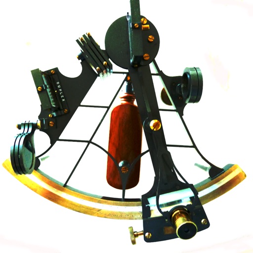
Calculate celestial navigation using the Law of Cosines method. Input Local Hour Angle, declination, and latitude to determine altitude and azimuth. Track calculations and review results for accuracy.
The app provides flight tracking for Montreal Airport, including live arrival and departure boards. It offers tools to manage trips, check flight status, and includes a packing list feature for travelers.
GPS track with color-coded altitude layers to identify wind patterns. Crew members view real-time flight tracking on a webpage. Includes offline maps, weather forecasts, load calculations, and a flight logbook.
Track flight paths and monitor navigation accuracy
Monitor flight paths and avoid GPS-denied areas. Set waypoints and track altitude. Receive real-time alerts for navigation anomalies. Sync with flight planning software for accurate route adjustments.
Calculate relative humidity, dew point, and grains per pound using temperature and humidity inputs. Spin wheels to input values and view results. Use dehumidifier performance mode to estimate water removal based on selected equipment settings.
The app displays airport information including distance, field elevation, and required descent rate. It shows the user's current speed, course, altitude, and vertical speed, updating all data in real time.
Land measurement tools allow precise and distance calculations on maps. Coordinate capture enables adding multiple coordinates to maps. Map exploration includes zooming, panning, and layer management.
Display speed, heading, and trip data using GPS. Choose between mph, km/h, and kts units. Show current and next 24-hour weather based on location. Track altitude, odometer, and drive details.
Calculate dew point, grains per pound, and dehumidifier performance. Input temperature and relative humidity via spin wheels. Output results for dew point or grains per pound. Enter CFM to calculate water removal.