Apps Like IGNIS | Wildfire Operations for iPhone and iPad
Overlay maps, access layers, track fire weather
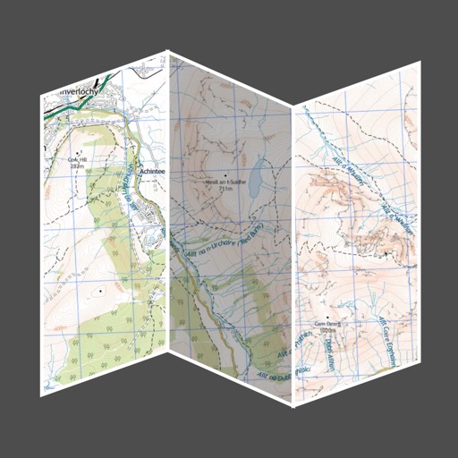
Overlay GeoPDF maps on dynamic base maps. Access curated wildland fire layers. Use the Fire Weather Dashboard for forecasts. View fire-specific symbology and reference documents.
by Ignis Technologies, Inc★ 4.918 ratingsNavigationFreeData updated 2026-09-06
The app provides subway maps and a route planner with travel time and distance. It calculates trip costs and finds nearby stations using augmented reality.
Access real-time schedules and route maps for . Search routes with multiple options, including time, fare, and distance. View station details and nearby areas. Supports Chinese, English, Japanese, Thai, and Korean.
The app provides past and future weather forecasts. It features a graphical dashboard and a world map for location selection, with options for date and time picking.