

Apps Like Land Nav for iPhone and iPad
Land Nav screenshots
Ranked alternatives
Showing 601–620 of 1,000 ranked alternatives.


MapPath
Julien Roze
Record trips, measure distances, and more.
The app records trips and displays tracks, position, and live information like speed and altitude. It measures distances, surface areas, and perimeters by placing points on the map.






Sun n Moon for iPad
David Gibson
Sun and moon times anywhere.
The app calculates sunrise, sunset, moonrise, and moonset times for any location. It includes a moonphase calendar, animation, and a compass showing sun and moon positions.

Altimeter GPS+ (Speedometer)
Tigran Mkhitaryan
Share location links instantly
Track elevation and climb rate in real-time. Calibrate altitude settings and check GPS accuracy. Send location links via SMS for easy sharing and navigation assistance. View maps in web browsers for location tracking.
3D GIS Digital Elevation Model
Andres Narvaez
Generate 3D models from internet or cloud
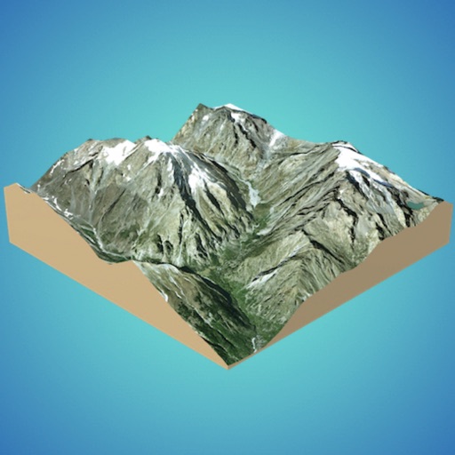
Create 3D models from online sources like Bing Maps or local cloud points. Export data as CSV, TXT, STL, or OBJ. Modify models by cutting, scaling, and animating. Calculate surface areas and volumes in real-world units.



Nautical Calculator Pro
Giacomo Gabriele
Calculate routes and track positions
Calculate routes and determine points on Rhumb Line, Great Circle, and WGS84. Compute average speed and estimated time of arrival. Plan routes with manual waypoints and create waypoint routes. Support composite sailing calculations.


3pMaster: Tripmaster Roadbook
stooj s.r.l.
Measure every meter, follow roadbook.
The app provides a precise GPS tripmaster for off-road, overland, and rally driving. It measures distance, follows roadbooks, and offers voice announcements to keep drivers focused on the trail.
How we rank alternatives
Apps are ranked by functional similarity, category fit, rating confidence, and popularity.