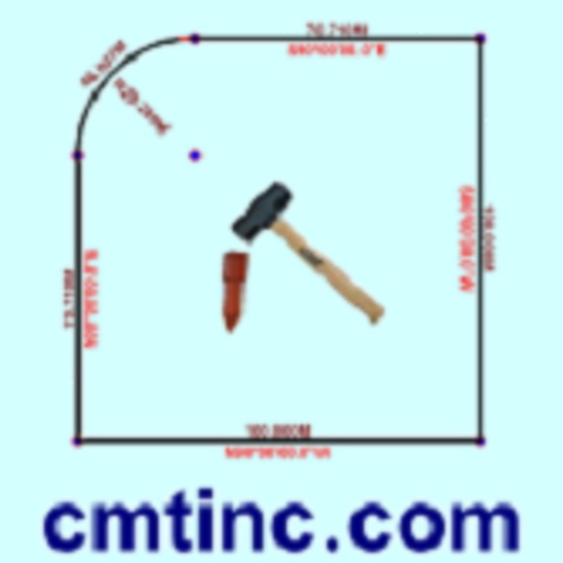
The app converts real property descriptions into boundary maps, displaying angles, distances, closure error, area, and perimeter. It offers stakeout functions for deed plots and individual points, with optional navigation beeps and GPS toggling.
The app provides job management for small businesses and tradesmen. It allows users to create invoices, quotes, and manage team appointments, with data backed up to the cloud.
The app digitizes points, lines, and areas of interest on a map. Its point stakeout function uses GPS to guide users to target features, while the line stakeout function displays distance to a line or area for parallel movement.
Manage sales contracts with paperless systems and multimedia presentations. Create and edit contracts directly. Sync data with Yellow Magic Business System. Track sales activities and customer interactions. Generate reports and manage leads remotely.
The app helps users organize and store notes, attaching photos, videos, and voice recordings. It also includes a store locator with GPS, directions, and contact information, plus a built-in PT chart for refrigerants.
The app provides job dispatch, time sheets, and location sharing for mobile workforces. It tracks user activities, including automatically calculated work time and driving distance, with invoicing available via the web.
The app records boat trips with GPS position, course, speed, and duration. Users can log weather, crew, boat details, and incidents, with access to speed and distance statistics.
Enhance productivity and customer service delivery.
The app provides dispatch management and timely delivery for transport and delivery companies. It features real-time tracking, route mapping, and status updates for dispatches.
Agronomists and farmers can scout crops for pest pressures and record observation photos. They can create and share recommendations from the field. Generate PDF reports and share via email or text. Collect soil samples using a grid.
The app helps Jehovah's Witnesses organize Field Service records. It allows users to easily store information about calls, service time, and letter writing, with features for detailed return visit notes and territory management.
Monitor field conditions using rainfall and temperature data. Track issue detection alerts and receive quantified reports. Prioritize fields for scouting and navigate to at-risk areas. Record observations with quick clicks.
Plan routes and track delivery progress in real time. View estimated arrival times and adjust delivery windows. Access vehicle diagnostics and manage multiple deliveries from one . Receive notifications for package pickups and drop-offs.