Find Points of Interest with detailed categories including hotels, restaurants, hospitals, and tourist attractions. Search for locations, view , and access offline routes and POI data.
Navigate using and compass to locate targets. View a smart arrow indicating direction to the target. Display speed, altitude, and distance to the target. Includes a built-in compass for orientation.
Use to view a digital overlay. Navigate using GPS for real-time directions. Check accuracy based on device sensors. Adjust orientation for precise navigation.
Configure sailboat performance settings from 2-20kn and set start line, wind direction, and intensity. Track real-time GPS data during races and record performance continuously in the background.
Uses AR to display directions in real environment. Mark locations, addresses, and altitudes in surroundings. Record and screenshot navigation moments. Requires location services for accurate functionality.
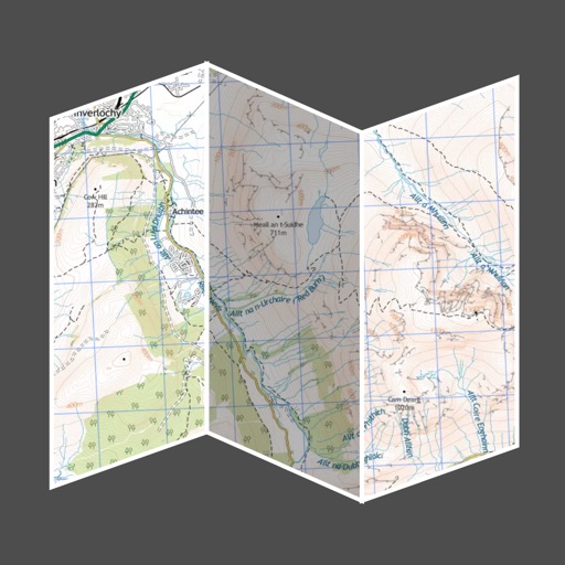
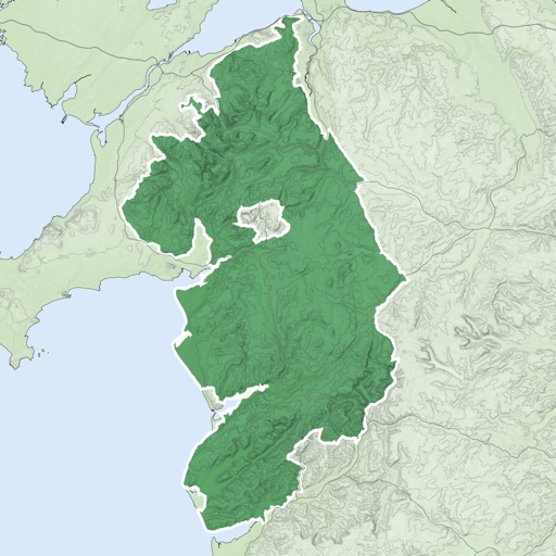
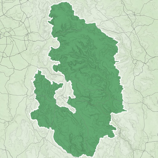
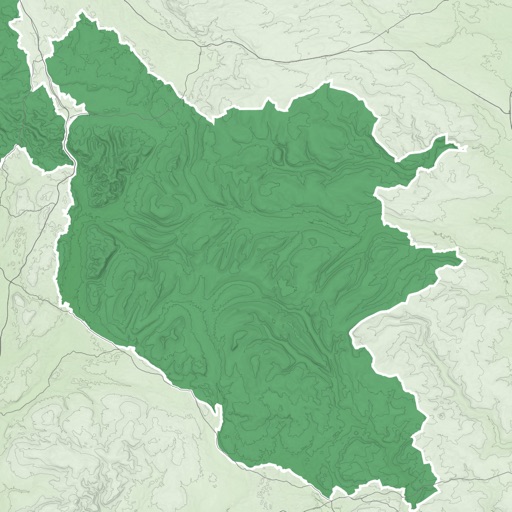
The app offers route suggestions from professional authors and maps from qualified cartographers for outdoor experiences. Users can download maps for offline use, plan their own routes, and record adventures.
The app tracks the location of devices with installed trackers in real-time. Users can locate belongings, family members, or employees and replay historical tracking data.
The app provides a heads-up display of airports and essential information, including distance, bearing, elevation, and runway length. Users can filter results for paved runways over 10,000 feet.