

Apps Like NAVIAIR.GL for iPhone and iPad
NAVIAIR.GL screenshots
Ranked alternatives
Showing 181–200 of 1,000 ranked alternatives.

SEAiq Pilot
Sakhalin, LLC
Navigation for pilots on waterways.
The app supports S-57, S-63, iENC, and BSB/KAP chart formats. It includes features such as predicted vessel display, docking aids, and NMEA/AIS record and playback.

WindCheck
Lychee Apps Inc.
Track weather data and flight information
View METAR and TAF reports for global airports. Access TFRs and NOTAMs for every airport. Receive AIRMETs, SIGMETs, and CWA alerts with worldwide coverage. See 3D runway views and airport diagrams for the U.S. and South Africa.


VIRFuel
Douglas Roxburgh
Calculate fuel and weight for flights
Calculate fuel and weight for Boeing 787 and Airbus A350/330 flights using Sabre flight plans. Input data from the flight plan front page and update with desired or actual loads.

Paragliding Map
Paragliding Map Limited
Track flight data and view live webcams
View real-time flight conditions and site information. Explore launch and landing sites globally. Access weather forecasts from multiple providers. Watch live webcams and view photos of locations. See valley wind patterns with directional arrows.

Barometric Pressure Offline
Pablo Paciello
Track and altitude in real time
Track and altitude without an internet connection. Receive alerts for rapid drops. Monitor altitude changes and weather patterns. Log data for later review. Sync measurements with other devices.

B737 Cockpit Companion
Flight Simulation Systems, LLC
B737 systems guide for pilots.
This app provides detailed information on B737 systems, including the NG, Classics, and MAX models. It offers customizable content, touch navigation, and reference options for pilots.

LA Metro Micro
Spare Labs Inc.
Ride trips within zones
Book rides within specific zones in LA County. View real-time vehicle locations. Pay using stored payment methods. Track trip details and receive notifications. Switch between ride options and manage preferences.


Eway public transport
Sherstyuk Ivan Ivanovych
Public transport routes and real-time data.
The app provides public transport routes and real-time data in select cities across Ukraine, Bulgaria, Croatia, Greece, Moldova, Serbia, and Turkey. It offers offline mode, route search, schedule information, and GPS tracking.




iGlide Lite
Logic Design
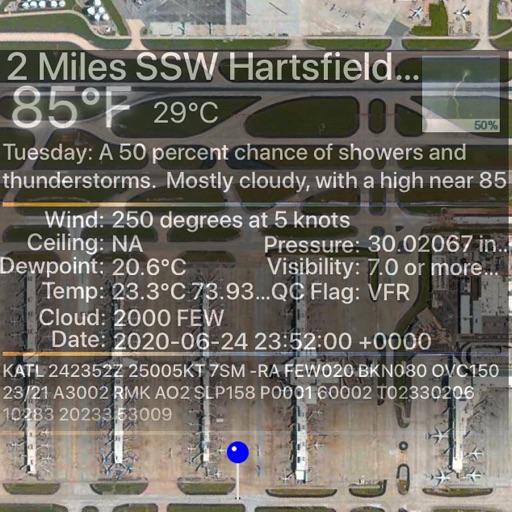
Navigate, track, and plan flights
Navigate using real-time maps and flight tracking. View weather data and airspace restrictions. Log flight details and share them with pilots. Set waypoints and monitor altitude. Sync with GPS devices and receive turn-by-turn guidance.

SkyPilot GPS Dashboard
Christoph Schulz
Track location, speed, and heading
Track location, speed, altitude, and heading using built-in GPS. Customize with widgets for quick access. View real-time movement data and adjust settings for navigation.


How we rank alternatives
Apps are ranked by functional similarity, category fit, rating confidence, and popularity.